ACADIA NATIONAL PARK—When I was a young mom, we couldn’t afford to live on Mount Desert Island, but we could just barely afford to pay for our daughter to go to pre-school for a while on the Quietside of the island.
A couple of times a week, I would drive in my daughter for her morning session. It generally made no sense to drive back to Trenton, just off the island, because it would waste gas and time, so I’d take my notebook and write while I waited. Sometimes, I’d hike.
The trick was always finding a hike that was fun enough and close enough to make it worth the challenge. It also had to be somewhere that I could get to my daughter really quickly in case something went wrong.
I was one of those constantly worried moms.
My go-to hike was the Goat Trail up Norumbega Mountain.
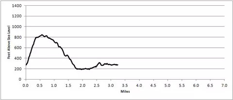
It’s about 1.1 miles with an elevation gain of 567 feet and a nice, elevation heavy, out and back. Or, if you get a call from a preschool that someone tore your baby girl’s dress, it’s a bit more of a frantic out and back.
It’s short.
It isn’t the easiest trail on Mount Desert Island by a long shot.
It’s not the hardest either.
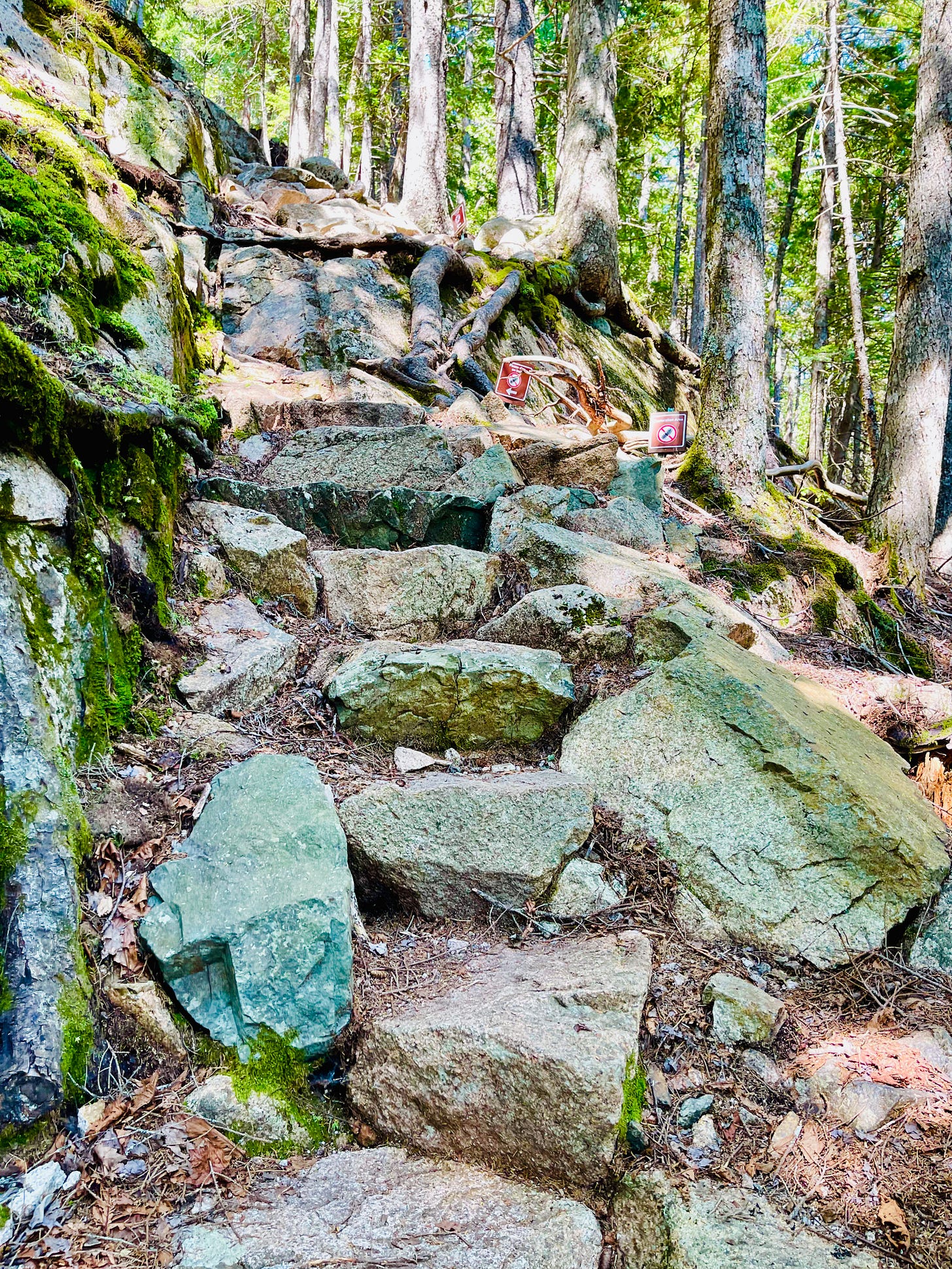
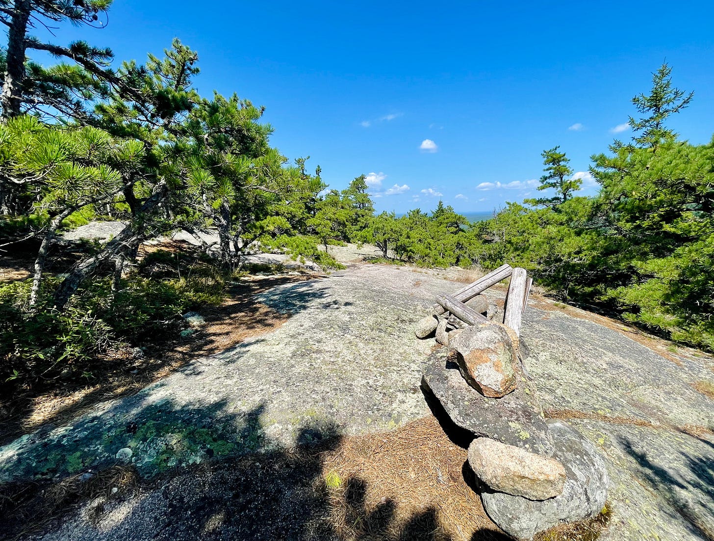
It’s got some scrambling sections where you might go on all fours like a goat. Most of these are in the first 30 minutes of the hike. After that? It’s pretty lovely with some rolling terrain unless you turn around and then you have to handle the descent.
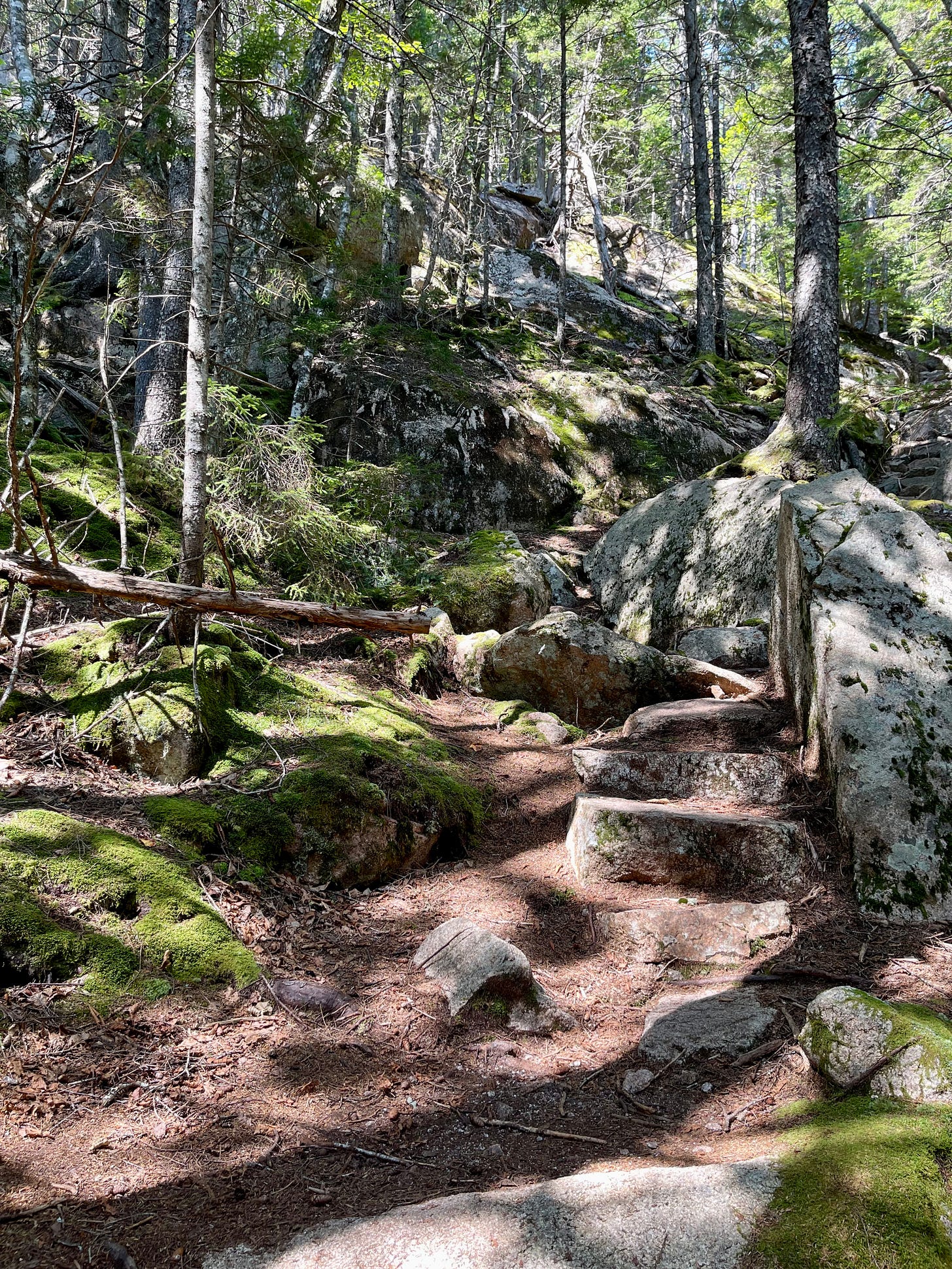
The trail begins with some granite rocks and occasional steps. When wet, these fellows are slippery. If you choose to do an out-and-back and have any sort of knee issues, or hip issues, you may want to either wear a knee brace or come back via the Norumbega Mountain Trail and Norumbega Connector. It’s a bit longer, but a whole lot more gentle on your knees.
The entire Norumbega Mountain Loop (rather than the out-and-back Goat Trail) is 3.2 miles. The terrain? It’s rocky. It’s uneven. And there are two of those scrambling granite sections. If you do the loop rather than the in-and-out, you’ll get to walk on a couple of boardwalks by the pond. Those are nice.
The Goat Trail is fun. Your dog, if you bring it, needs to be on a leash because it’s part of Acadia National Park and the Park has rules. Depending on your dog, it might need an occasional boost. And, because it’s in the park, you need a park pass.
If you go in the late or early season, or if you go after a big rain, you might need to wear some rugged shoes to deal with the ice or mud. It can be slippery if your footwear isn’t ready for that.
When we did this on an August Saturday, we only saw two people in the Goat Trail. They worried for us. They celebrated when they saw us down the mountain. Sweet, but sort of embarrassing.
There were many more people—close to 15 in groups—on the bottom connector trails and Norumbega Mountain Trail. They were all nice as well.
THE LOOP HIKE ROUTE (this will take about 2-3 hours):
Begin at the north end of the parking on Sound Drive.
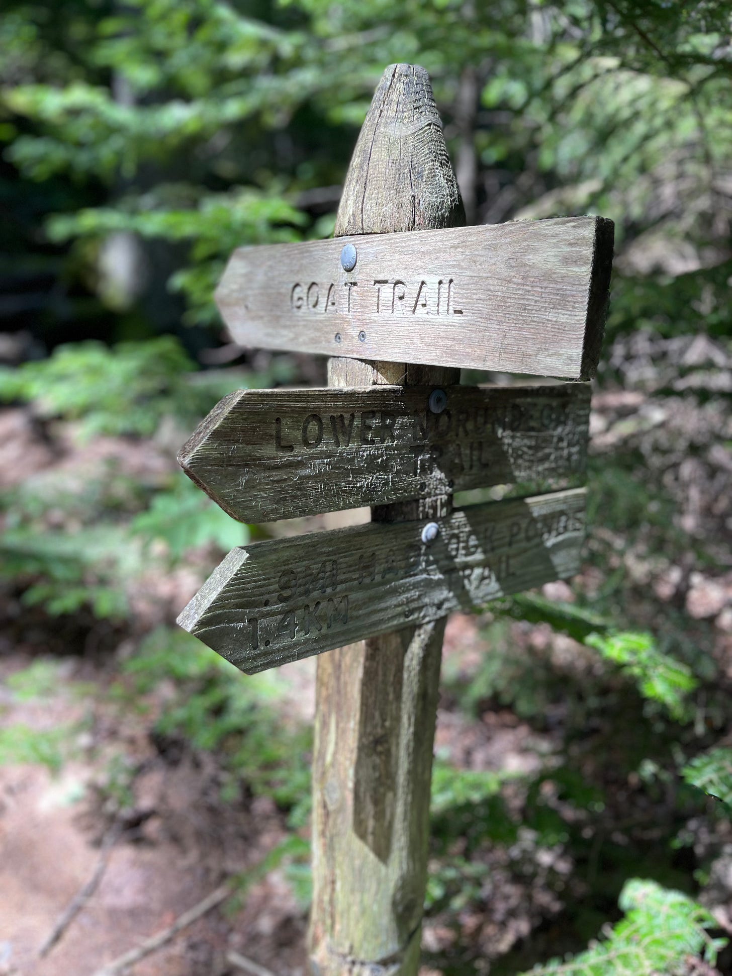
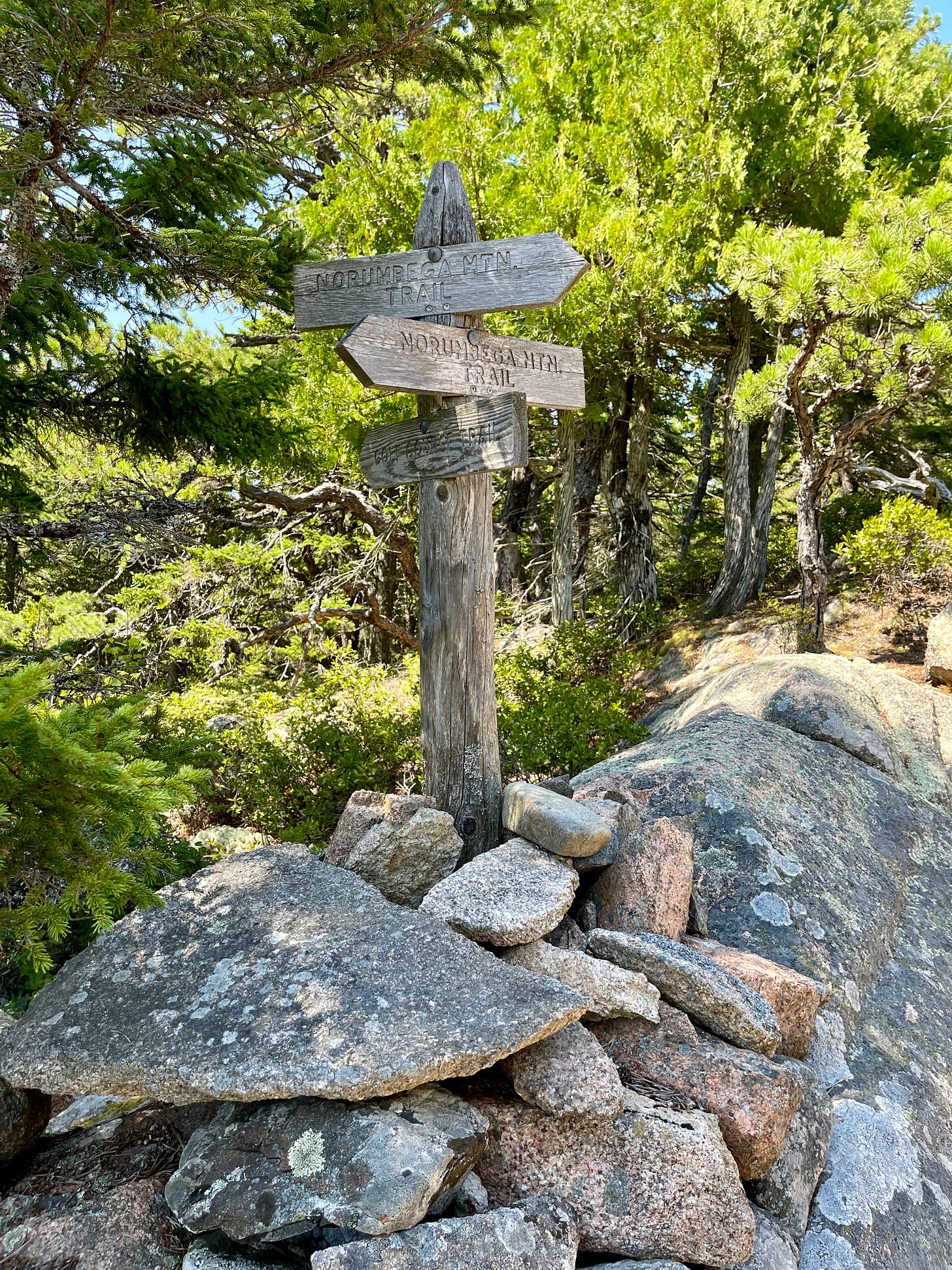
Look for signs (for trails, not from the universe) that say “Goat Trail.”
Go up a steep bunch of boulders.
Right after that, the Goat Trail and the Norumbega Mountain Trail become the same and this continues along the ridge.
The trail will be more gradual and go through some forests. You can see Somes Sound from here.
When you go back to the bottom, you’ll see Lower Hadlock Pond. Turn left on the Hadlock Pond Trail and follow the shore.
There will be roots here. There will be bogs. There will be boardwalks.
Sometimes there is a teeny waterfall. This is where the water moves from Upper Hadlock to Lower Hadlock Pond.
There will be a junction. There, you want the Norumbega Connector to get you back to the parking area.
Or, if you don’t feel like going back quite yet, or you are easily lost like me, cough, you can go another .4 miles via the Hadlock Ponds Trail. This will bring you back to the road, no matter how panicked you are that you’ll be late to pick up your child from preschool.
MORE ABOUT NORUMBEGA
Norumbega isn’t as glamorous as the eastern mountains on Mount Desert Island, but it’s adorable.
It’s next to Somes Sound.
It’s next to the Hadlock Ponds.
It has that steep 600 feet ascent in half a mile via that Goat Trail. The mountain itself? It’s just over 800 feet.
There are beautiful trees here. A lot of them are younger pine trees.
It’s kind of a strenuous mountain even though it’s short.
You can also look to the northeast and see Sargent Mountain and Bald Peak.
You cannot swim in either Hadlock Pond. It will be tempting. But don’t do it. Be good.
DIRECTIONS FROM BAR HARBOR
From Mount Desert Street, continue straight onto ME-233 W/Eagle Lake Rd for 5.8 miles
Turn left onto ME-198 S/ME-3 W.
The trailhead will be on the right. It’s on the north side of the lot if you’re a person who knows directionals.
The parking lot is around 2.3 miles from where Route 198 and the Eagle Lake Road aka Route 233 meet.
FOR INFO ABOUT FEES
https://www.nps.gov/acad/planyourvisit/fees.htm
Photos: Carrie Jones


