Bar Harbor Sees at Least an Estimated $1.3 Million in Storm Damages
Fire Chief Expects FEMA and MEMA Visits
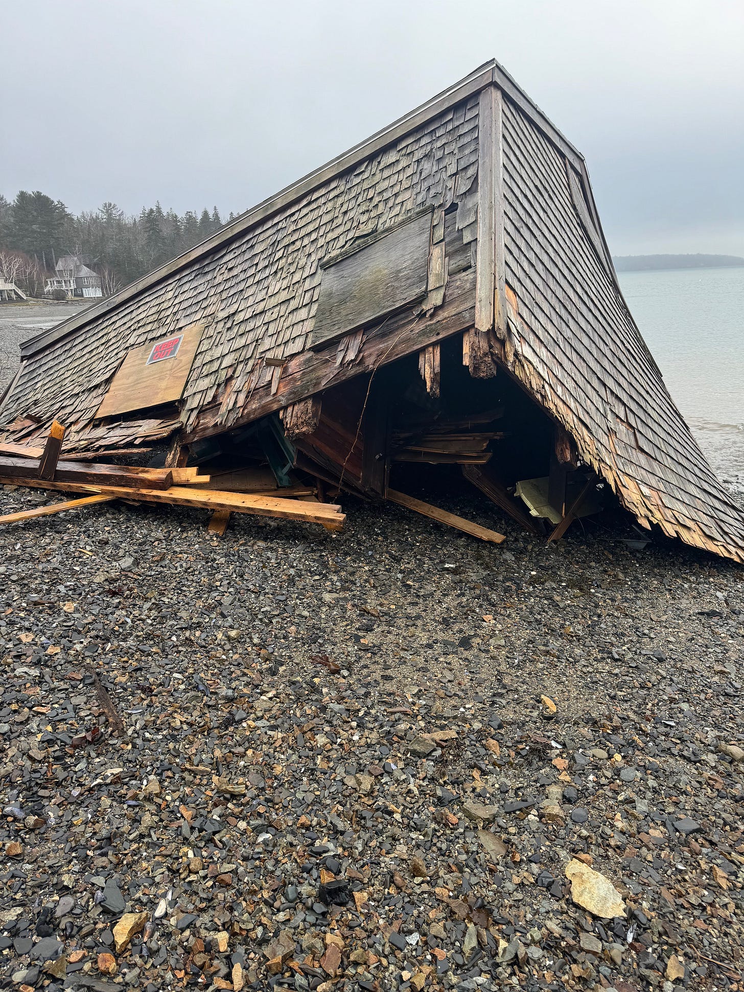
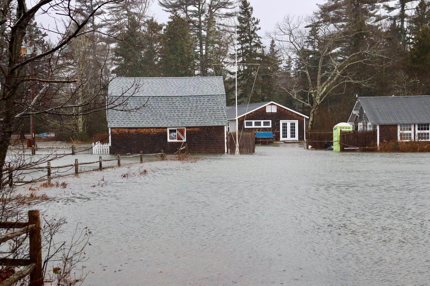
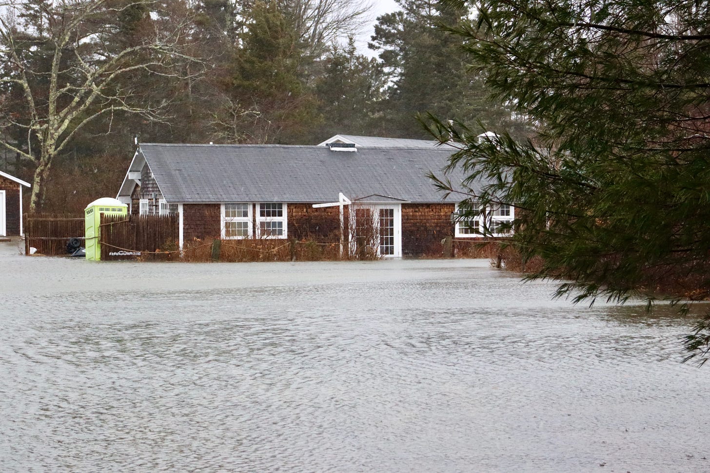
BAR HARBOR—Bar Harbor Fire Chief Matt Bartlett said that the town has an estimated $1.3 million in damages thanks to the January 10 and January 13 storms that brought massive storm surges, wind and flooding to coastal communities on Mount Desert Island and throughout Maine.
Bartlett said that the town’s damages costs could change. That $1.3 million is not locked in. It’s just to get the ball rolling, Bartlett said, so that the town can start applying for help from state and federal agencies.
The town sustained damage to roads, a pump station, Ells Pier (the town wharf) and the subsurface that’s supporting the pier, and the Degregoire Park Road. There is an estimated $900,000 damage to those locations as well as to the Hulls Cove pump station, town wastewater infrastructure, and roads. Currently, the Bar Harbor Village Improvement Association, which maintains the Shore Path, is estimating there is $400,000 damage to the path that goes from the town’s pier and along the coast to Wayman Lane. The path is owned by each respective property owner that abuts it. That number may also change.
The portion of Degregoire Park Road that is close to the embankment on the shore has started eroding and there is an old unused, wastewater pipe that was a conduit for storm water that facilitated erosion.
“The whole road was undermined” in the storm, Director of Public Works Bethany Leavitt said.
Cost estimates do not include damage in the parts of Acadia National Park that are within the town of Bar Harbor.
TOWN PIER
Leavitt said that anecdotally there was a foot or two of water on top of Ells Pier, which is currently closed to the public. There was damage to all the electrical equipment on the pier. The wastewater pump station, however, was undamaged.
The worries are about the structure’s integrity, which depends on the subsurface that supports the pier. Bartlett and Leavitt said that they do not currently know about the support surface’s integrity.
The road gave away and that means that the surface beneath the roadway gave away and that indicates there could be some problems.
Leavitt said that in February there will be work with ground penetrating radar and seismic technology to determine where the voids are in the subsurface below Ells Pier and then a structural engineer will translate that data for the town so it knows where to begin when fixing damages.
“We’re looking to see what the immediate repairs are to get it to the safe position,” Leavitt said. “We don’t know really what we’ll find yet.”
SHORE PATH
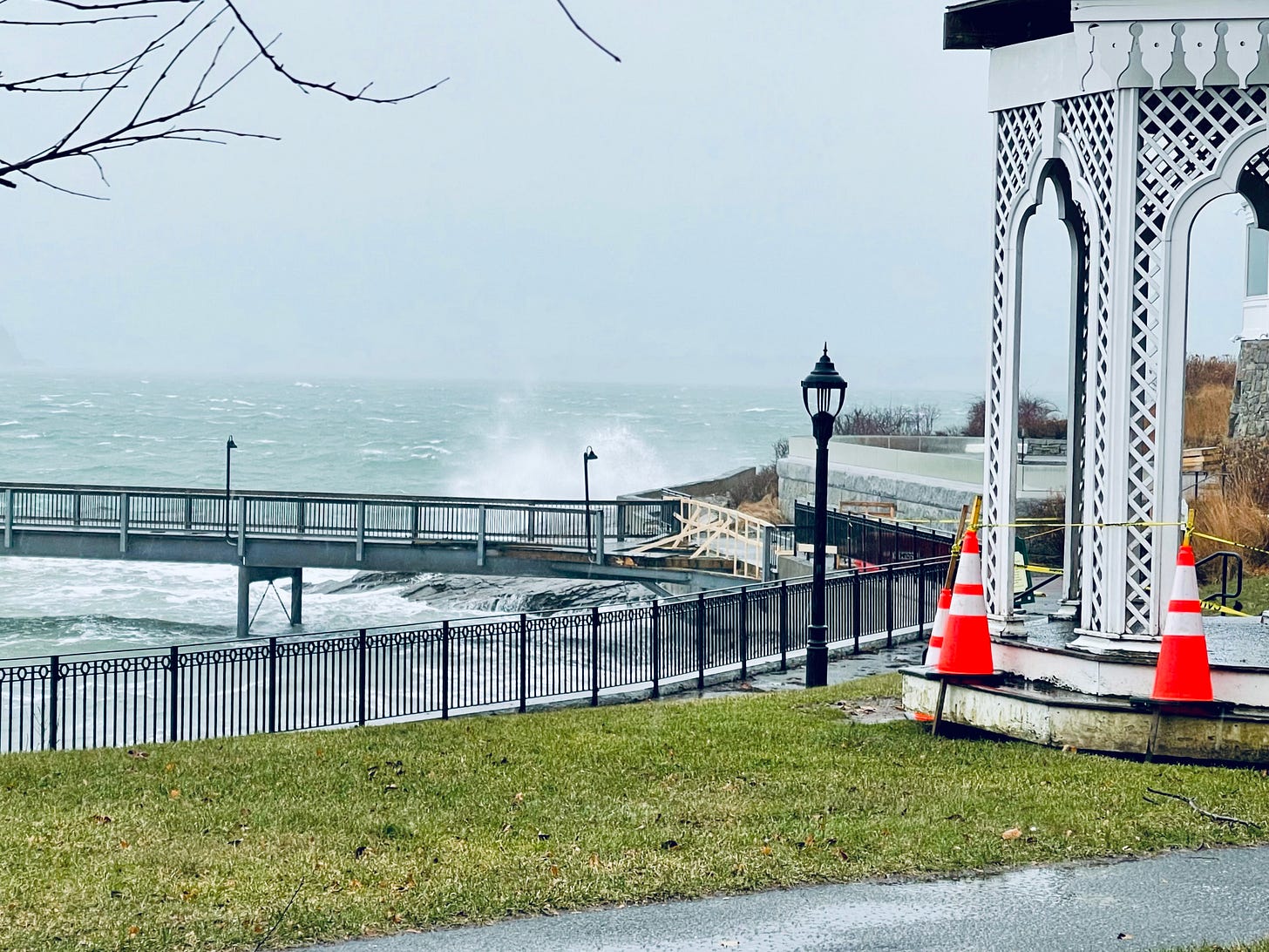
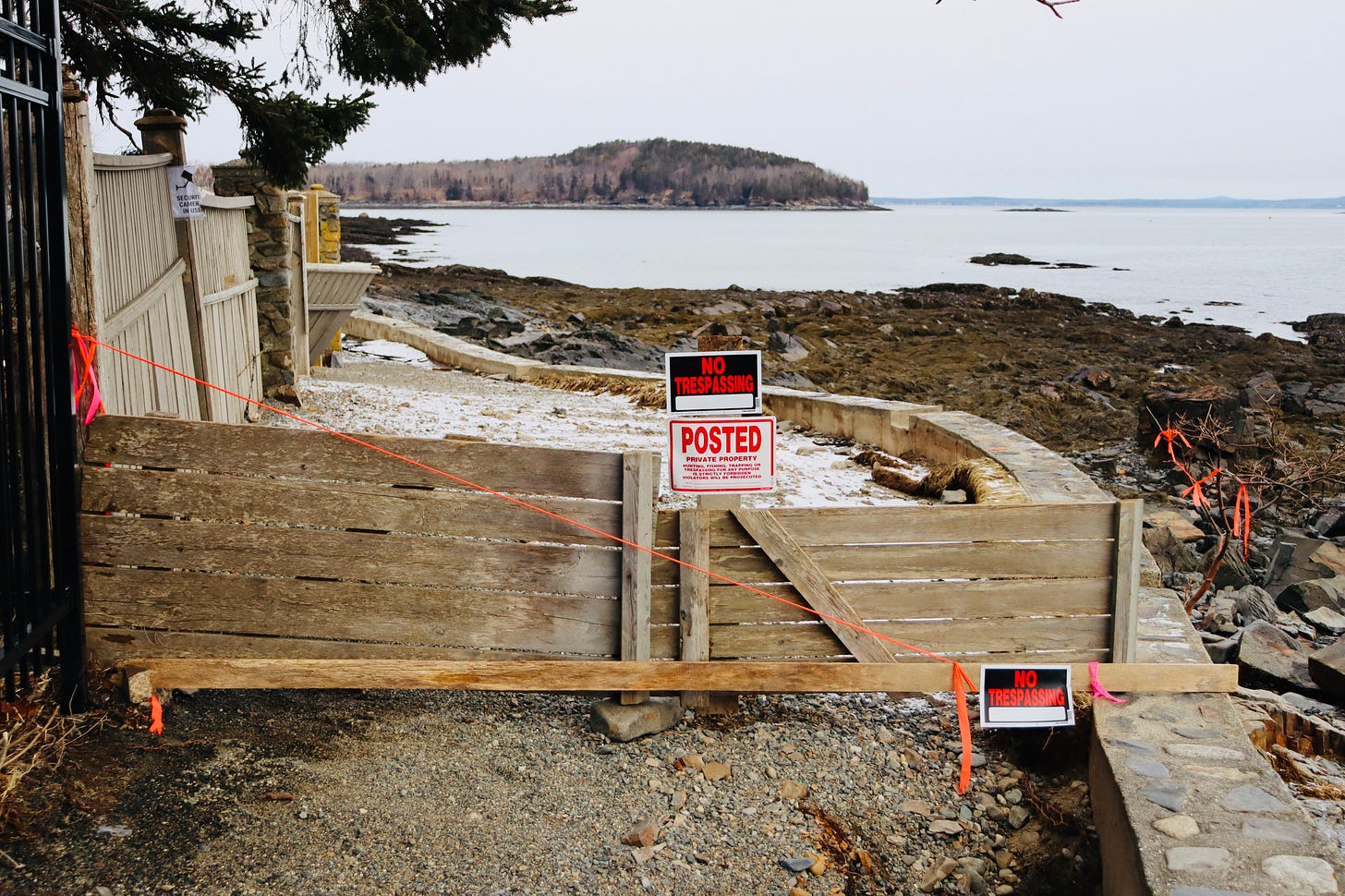
Damage to the Shore Path was a bit more obvious. Erosion took away parts of the path and older sections of seawall have been broken and some pieces were dislodged. Fences broke. Some trees and brushes broke or toppled.
Bartlett said that the town is working with the Bar Harbor Village Improvement Association to potentially get state or federal funding for Shore Path repairs.
“They are not looking for any tax dollars,” Bartlett said of the organization, which manages many green spaces open to the public in town including Glen Mary Park, Bald Park, and How Memorial. The VIA helps manage but does not own the Shore Path, Village Green, Veterans Memorial, and Agamont Park Fountain.
HOW TO PAY
Councilor Joe Minutolo asked about funding the repairs and the process for that. The Bangor Daily News recently reported that federal disaster relief often doesn’t cover “the repair or replacement of owner-occupied homes that serve as primary residences.” Town-owned properties can receive federal disaster relief.
“Gov. Mills has proclaimed a state of civil emergency,” Bartlett said and that may expand. The county has to reach a threshold of $2.5 million in damages for certain levels of aid. “They anticipate that they will far exceed that $2.5 million.”
In the meantime, Minutolo wanted to understand how the town will pay for repairs.
Town Manager James Smith said, “Before we spend money, we need to be sure that we’re authorized to spend money.”
But it seems likely that the town will have to spend money for immediate repairs and then be reimbursed by state or federal funds, insurance, or other means for those costs. The first step of a request is to make a preliminary damage assessment. The damage’s extent, impact, and type are all determined.
“It’s a big deal. It hit everybody,” Bartlett said about the storms, which might facilitate a faster discussion with MEMA and FEMA. Those agencies are expected to visit Bar Harbor in the next few weeks.
Bartlett said, “we’re also continuing to explore other funding” to help pay for the storm, including insurance claims from the Maine Municipal Association.
Representatives from Senator Collins’ and Senator King’s offices have reached out and given the town guidance, Bartlett said, and they will be a resource to help with federal funding.
Robert T. Stafford Disaster Relief and Emergency Assistance Act states, "All requests for a declaration by the President that a major disaster exists shall be made by the Governor of the affected State."
“We’re really at the beginning stages of this,” Bartlett said. “We’ll stay vigilant. We’ll be on it.”
THE FUTURE
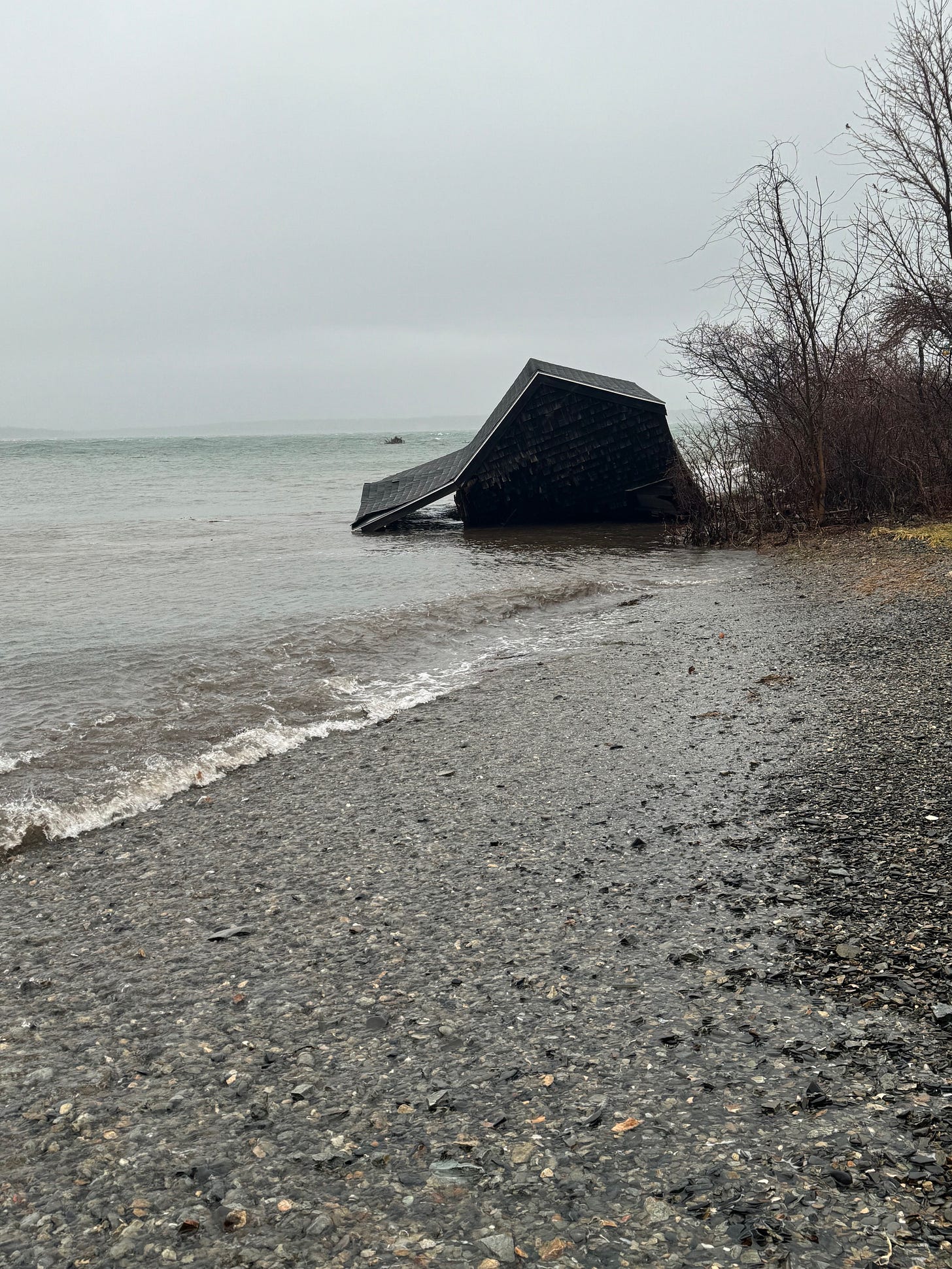
Council Vice Chair Gary Friedmann and Councilor Kyle Shank both had concerns about the future of Bar Harbor’s infrastructure and its residents’ property.
Friedmann said that he wanted to make sure that the town builds back better.
“We know these storms are going to continue to get worse,” he said and added that there is a growing movement to sue “big oil” for events like the storms.
“It’s really clear that this is a climate event,” he said.

Shank talked about Jones Marsh, an area by Route 3 and the Oceanarium at the head of the island that was once an inlet, he said, but is now more like a cove.
“That’s a pretty low-lying area,” and it’s an area that they might want to consider in the future when preparing for storm surges and increasing tidal heights.
Bartlett said that area is a state issue because Route 3 is a state road. Route 3 is also the section of Hulls Cove that flooded twice this week. Smith said that there can be a conversation with DOT about future plans.
“If you look at any model that has a foot or two rise,” Shank said, there is a roadway underwater in the Jones Marsh area.
Above video of the Bar Harbor Inn pier courtesy of Jeremy Dougherty
LINKS FOR MORE INFORMATION
To donate to the Village Improvement Association
To donate to the Oceanarium
To donate to the MDI Historical Society
FEMA information
Knowing It's Coming
BAR HARBOR—Jeff Cumming has a bit of a cough still, recovering from a cold that’s lingered, caught from one of his three daughters, but the tall, lanky man’s face still lights up when he thinks of what he’s done: His family’s nonprofit has purchased a 19-acre property that has a flooding problem and he’s determined that he’s not just going to go with th…


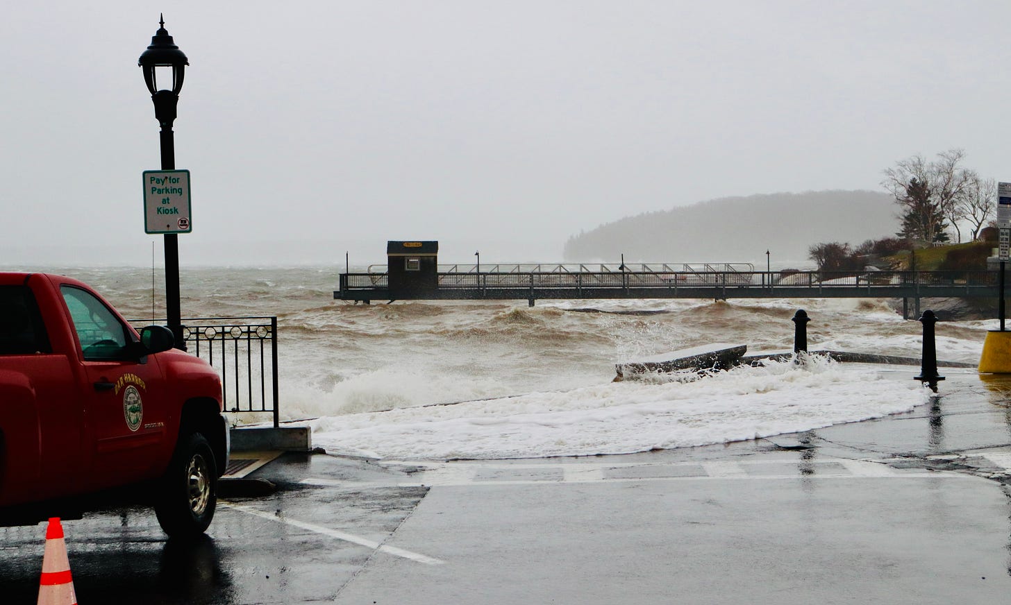
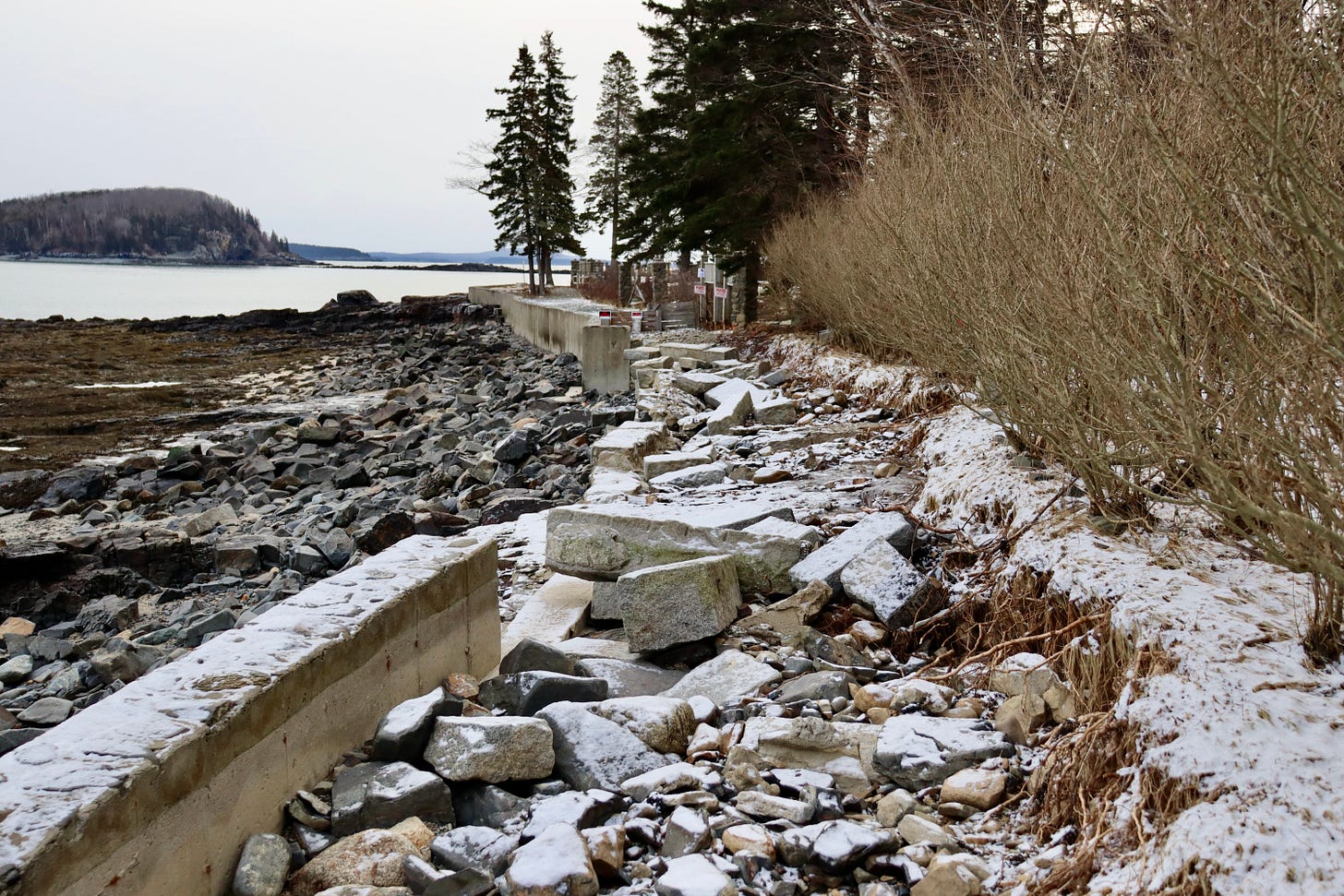



From experience talking to many cruise ship passengers, the Shore Path is the most popular destination in Bar Harbor. Why not use cruise ship revenues to repair the Shore Path?