Second Storm Batters MDI
The Tay comes back, but may not stay, floods and high winds damage property
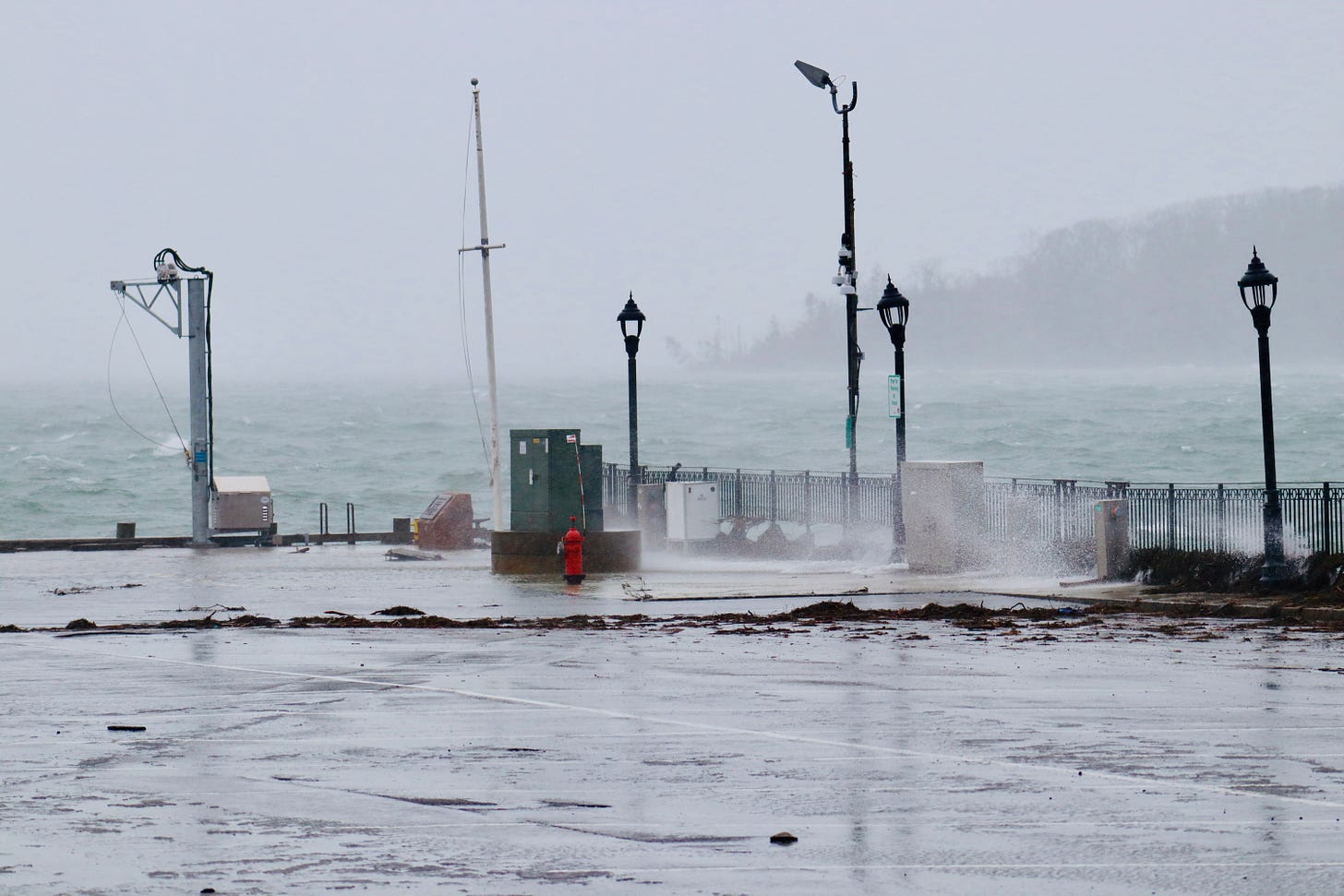
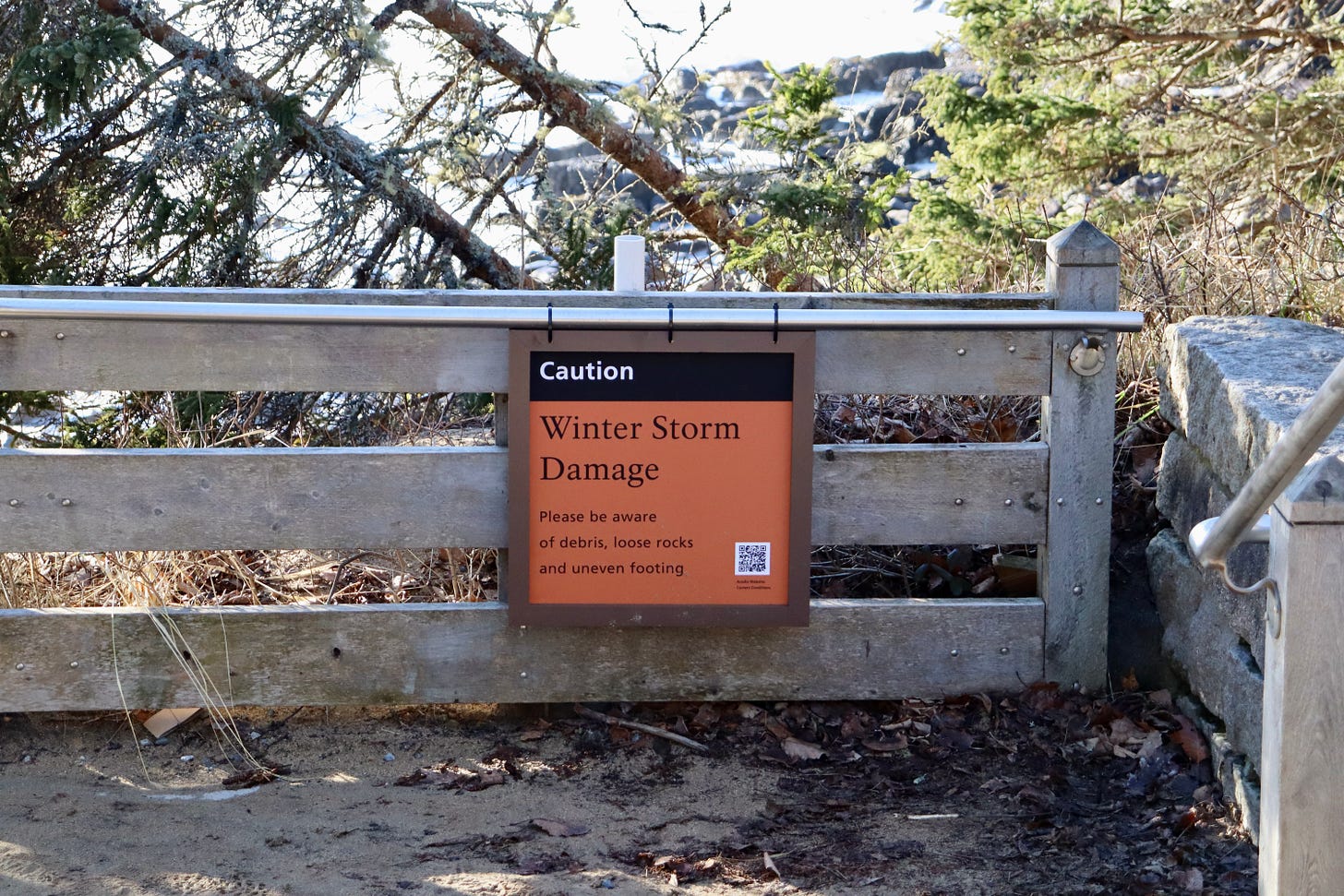
BAR HARBOR—Bar Harbor and Mount Desert Island survived its second major storm this week that damaged multiple homes, businesses, and structures.
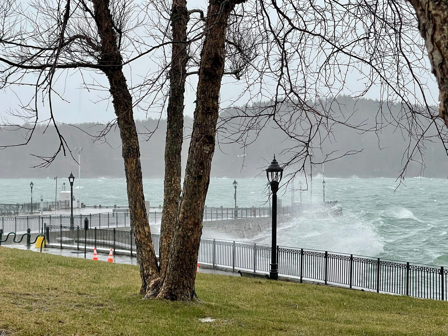
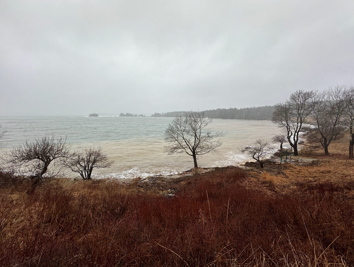
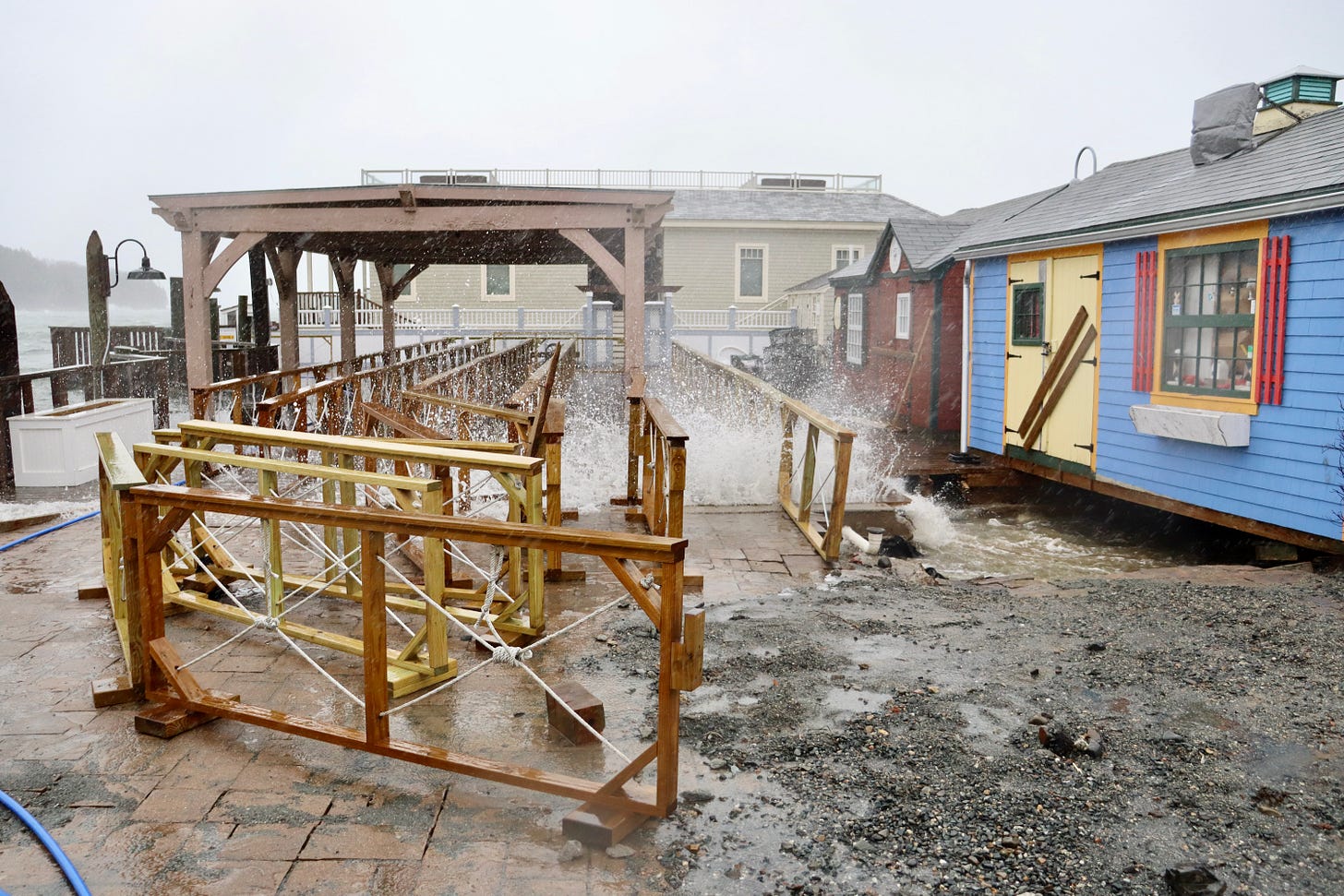
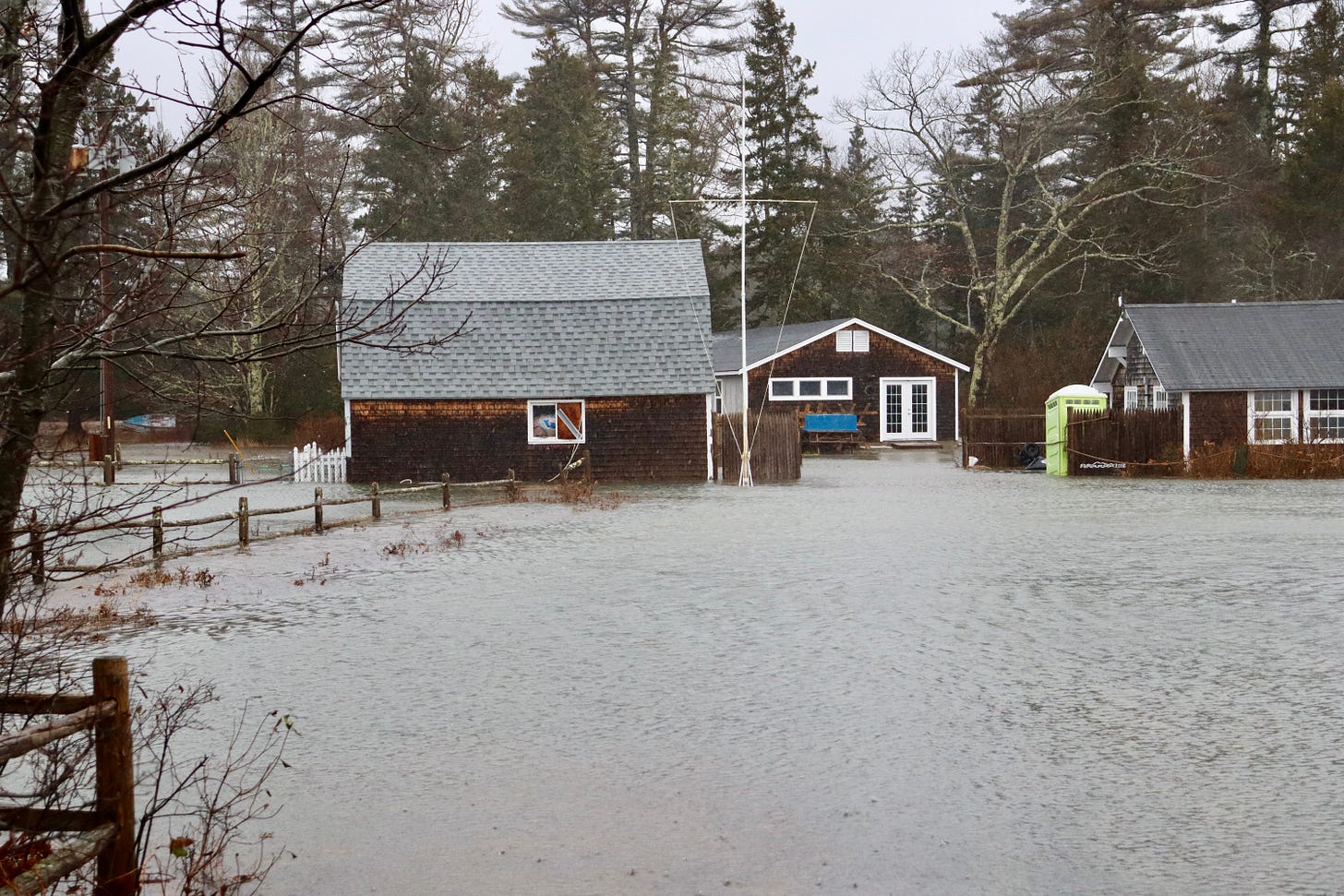
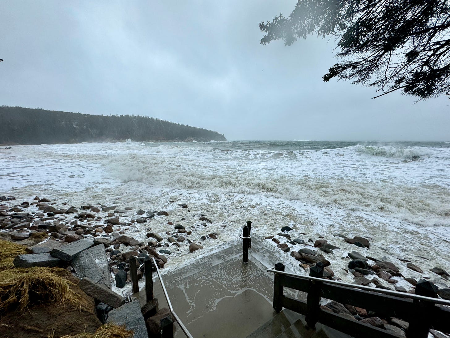
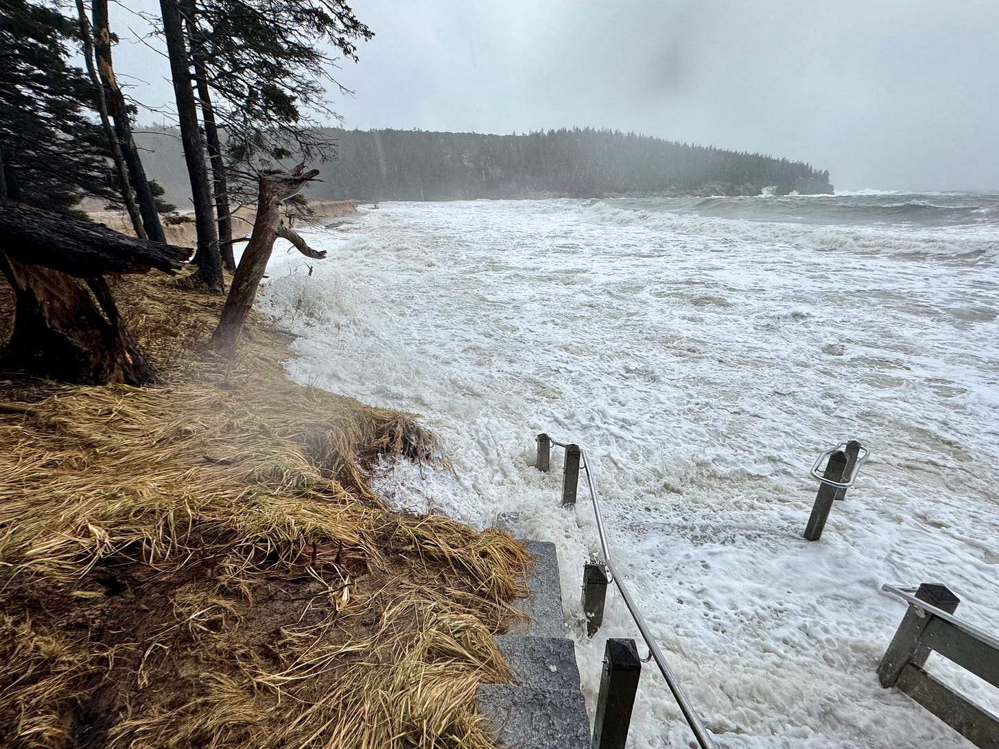
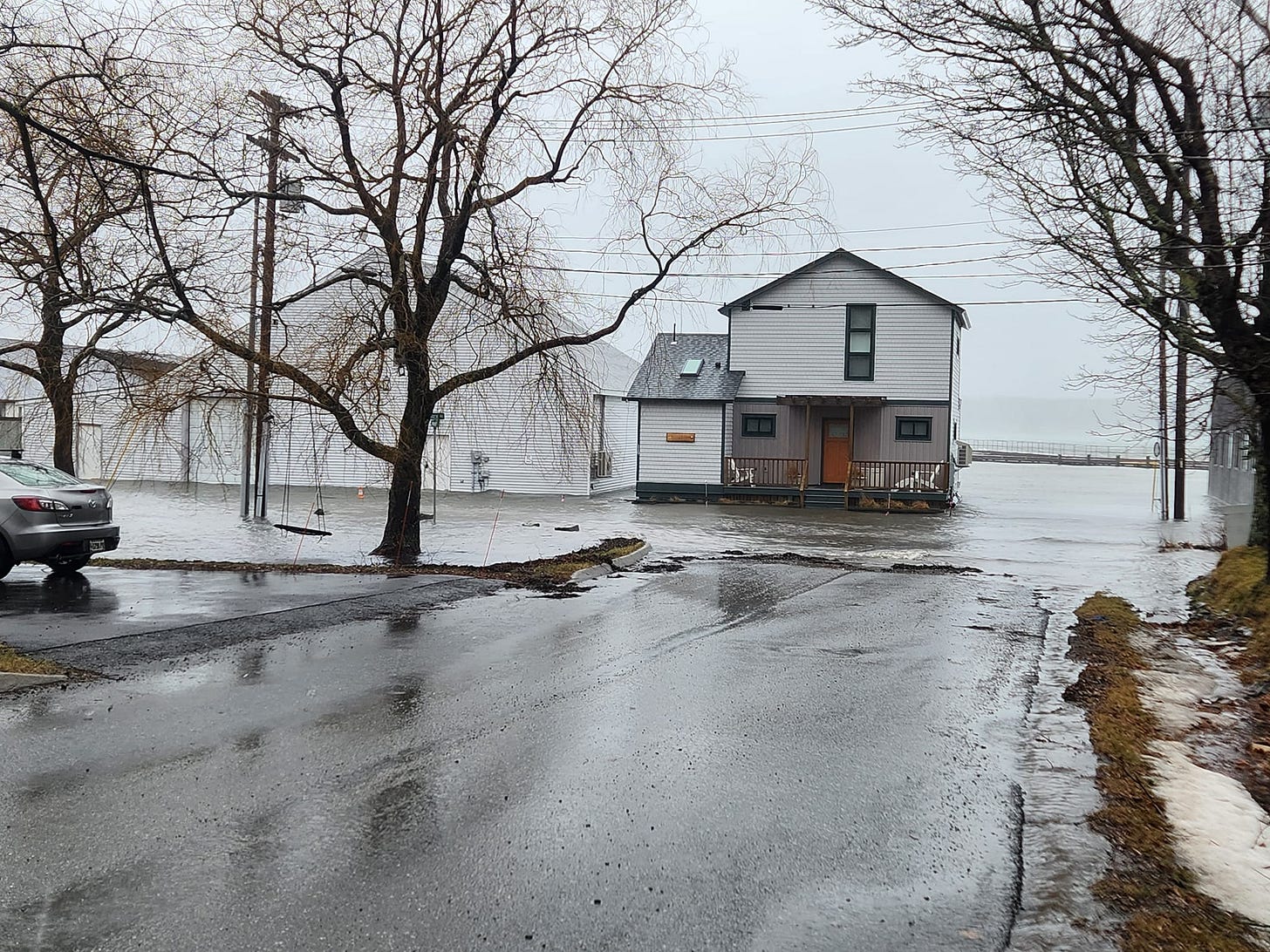
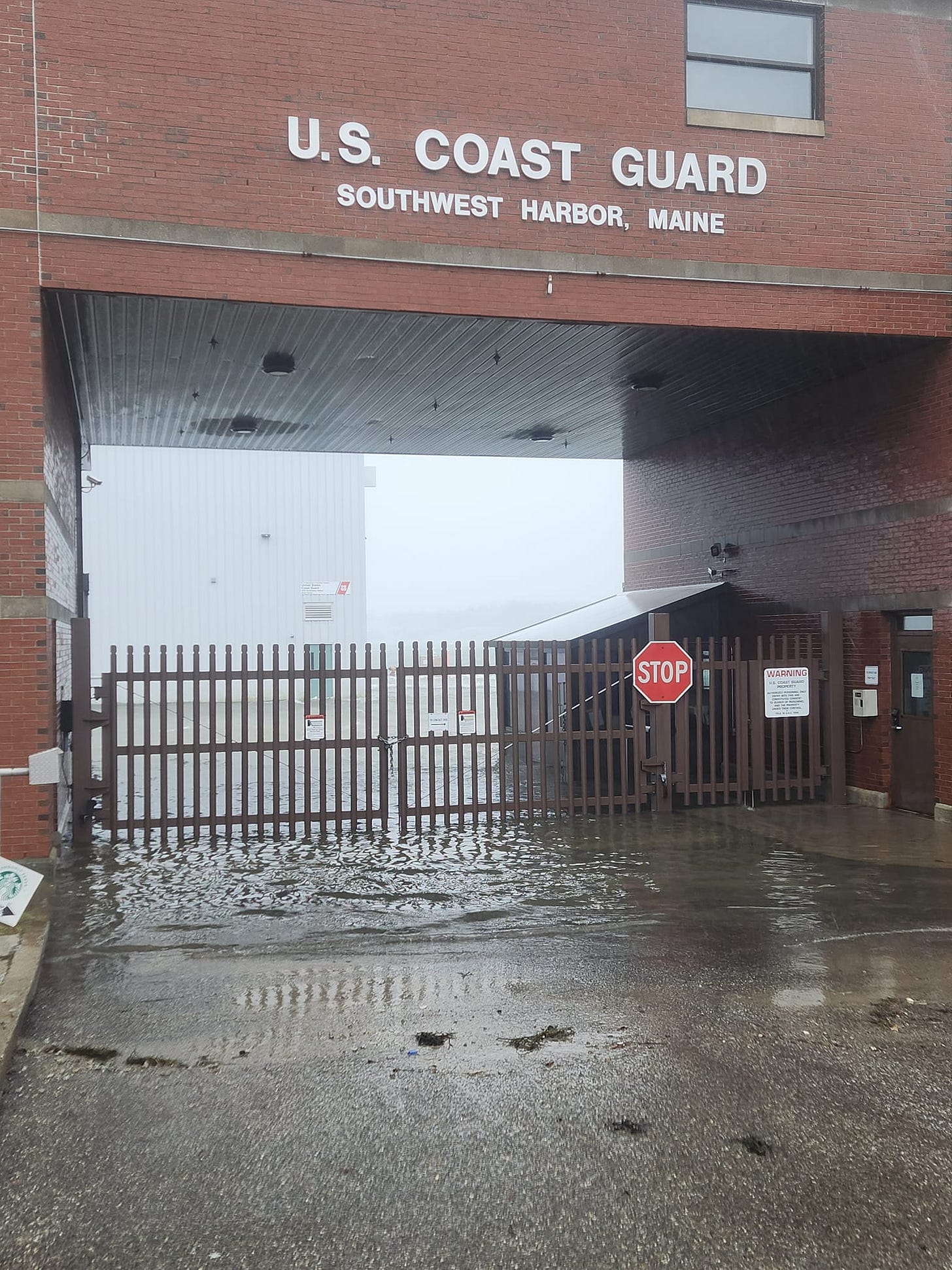
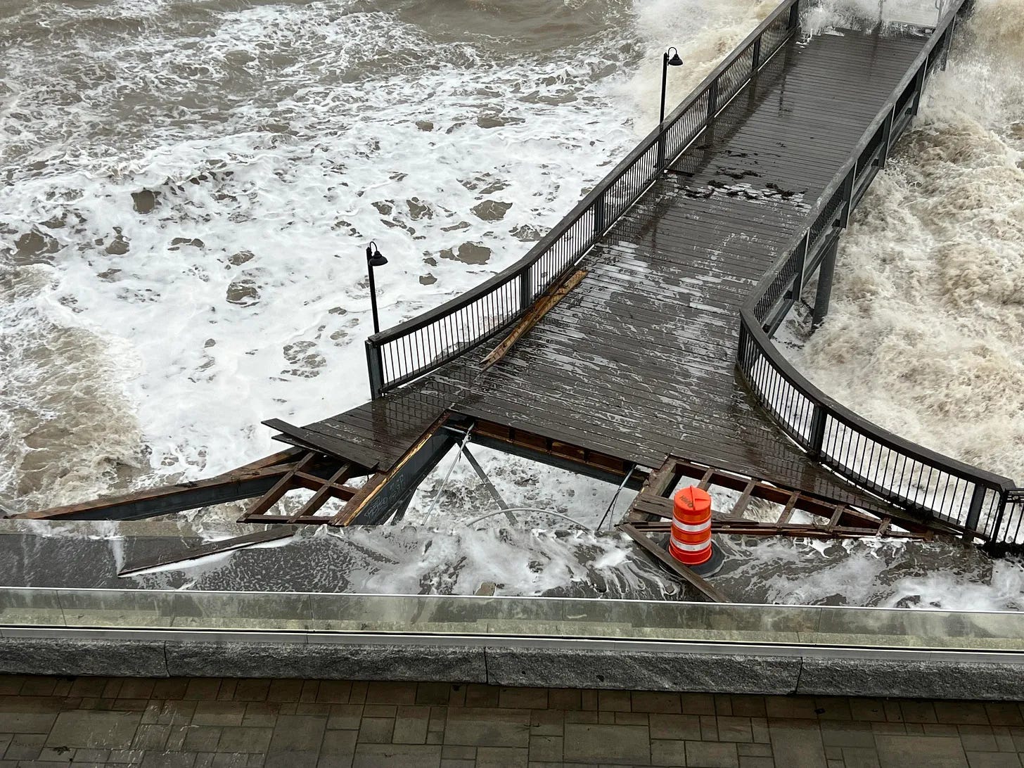
The Saturday storm brought icy road conditions across Mount Desert Island and Hancock County. Propane tanks vented, beaches and roads closed. Waves burst through the pier at 1 Harbor Place where cruise ship passengers queue in Bar Harbor. The town’s iconic Shore Path eroded even more. Flooding occurred at the head of the island, Manset, Bernard, and the Coast Guard Station in Southwest Harbor as well as the basements of some private homes, mansions, and the Oceanarium. Evacuations occurred in Somesville for a little while Saturday afternoon because of a propane tank venting.
Wind gusts of 55 mph were recorded on the island and 15 to 16 foot water levels in Frenchman Bay and the astronomical high tide occurred around 11:45 a.m. The Saturday storm came after the January 10 storm eroded beaches and dunes, and broke buildings and wharves and piers and roadways.
This Saturday’s storm’s rain on already soaked ground reportedly caused water encroachment in the foundation of a home on Barberry Lane that called for firefighter response to help. Other large shorefront properties lost pieces of their seawalls with large rock and concrete pieces ending up on lawns.
THE SHORE PATH AND THE BALANCE ROCK
Volunteers from the Village Improvement Association (VIA) monitored the Shore Path all day Saturday. The path is currently closed. The path is not publicly owned property and is not owned by the Town of Bar Harbor, but by multiple property owners along it who agree to have the VIA maintain it. The association is fundraising to help pay for the extensive repairs. The group is made up of volunteers who maintain many public spaces in Bar Harbor.
Despite rumors on social media, the iconic Balance Rock remained balanced.
Video: Carrie Jones

HANSONS HOLE AND SEAL HARBOR BEACH
Areas with lower elevation in Mount Desert were again hit hard. There were also reports that some of the docks in Northeast Harbor sustained damage.
THE TOWN PIER AND 1 HARBOR PLACE
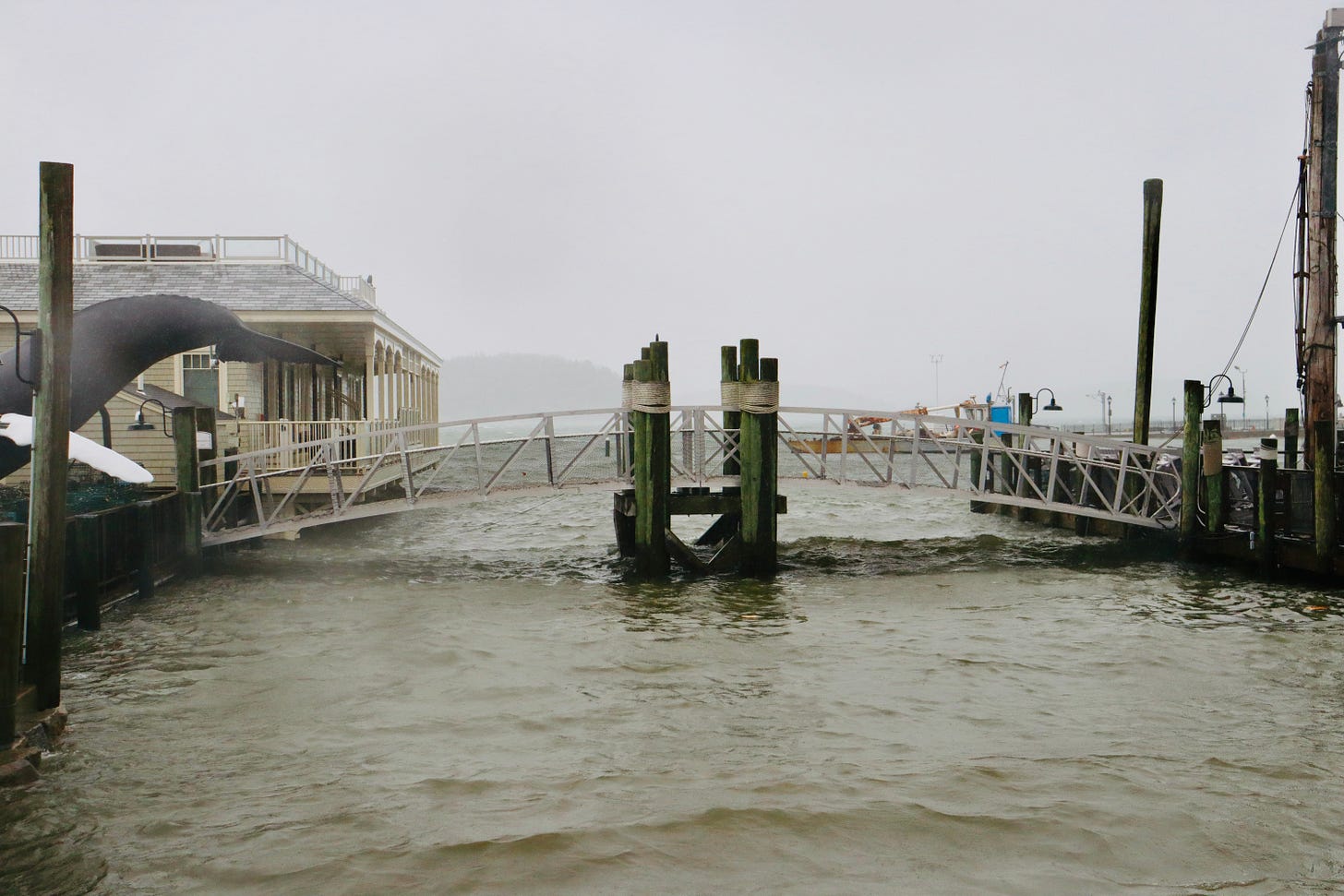
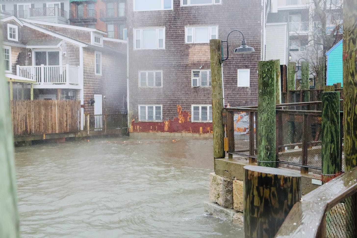
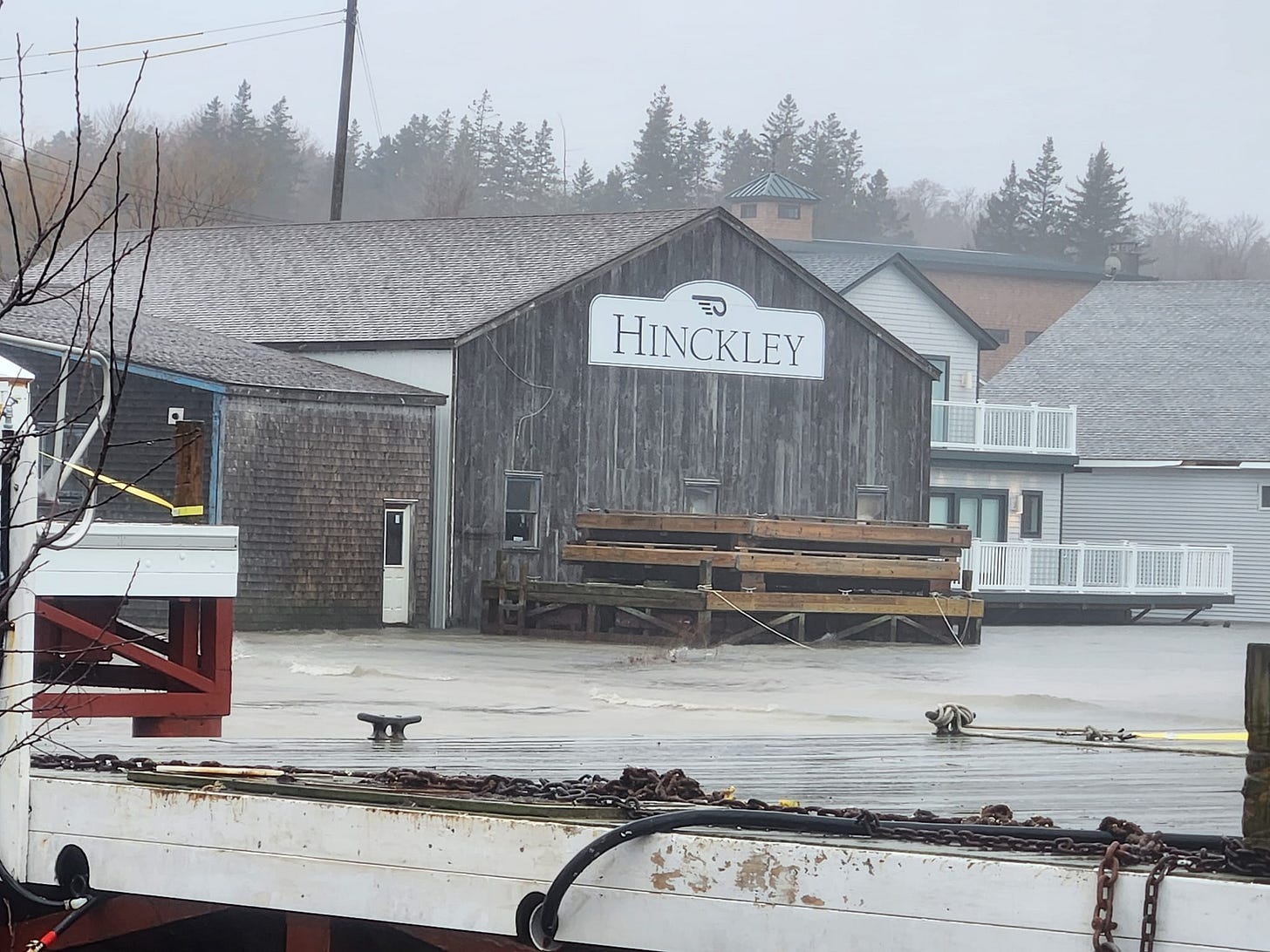
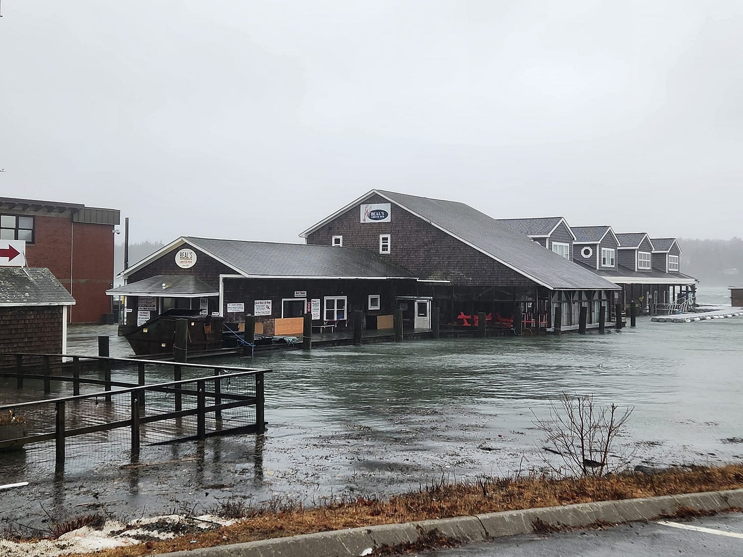
The working waterfront in Bar Harbor, like other working waterfronts along the coast, took a lot of damage. Hotels lost pieces of their walls. The cruise ship tendering pier at Harbor Place sustained damage. A gaping hole allowed the ocean to easily overflow by one shop.
Photo: Shaun Farrar.
THE OCEANARIUM AND HEAD OF THE ISLAND
The Oceanarium and Education Center flooded again this storm. The life support system for the animals was not impacted and the animals are safe.
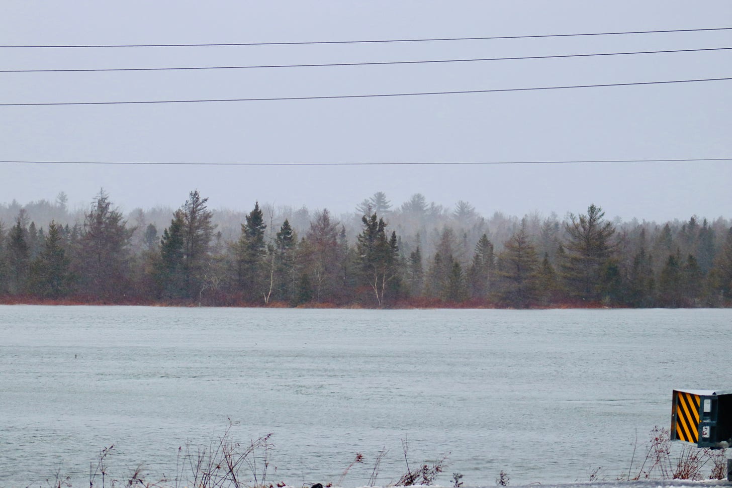
The low-lying areas along Route 3 at the head of the island had considerable water on the roadway.
The video is from 10:35 a.m. on Saturday in Hulls Cove. It was taken by Ed Damm about 1 hour 10 minutes before high tide. There are reports of erosion at Hadley Point Beach and other places, which we have not yet verified.
THE TAY AND SAND BEACH AND ACADIA
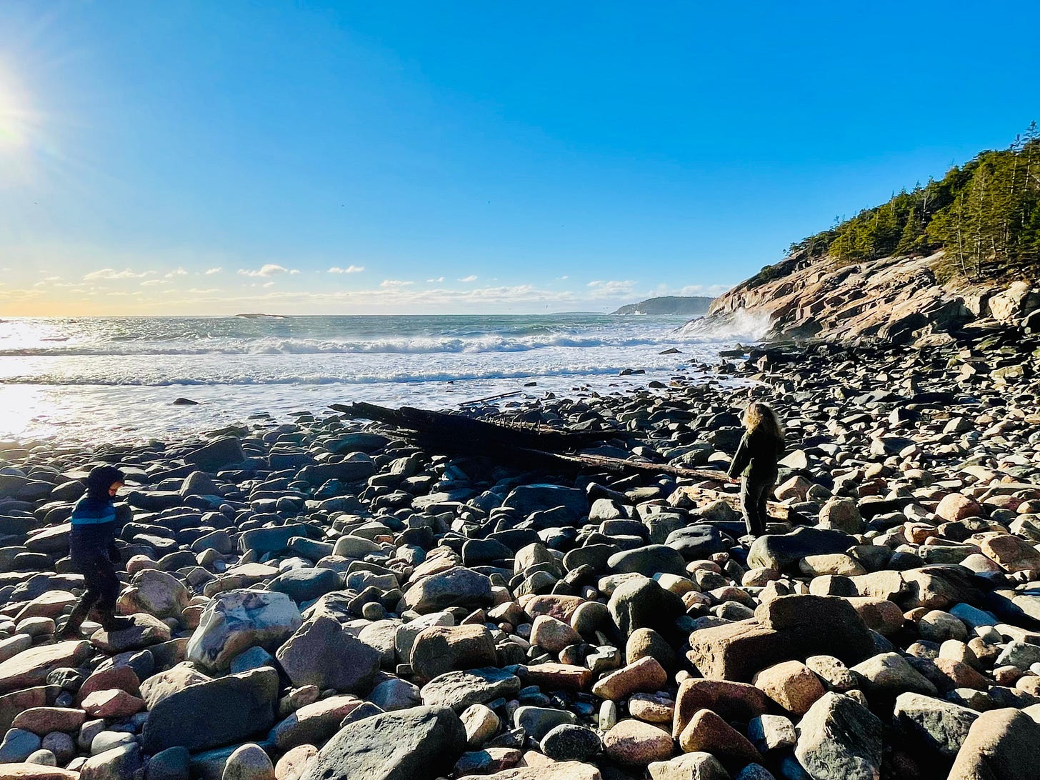
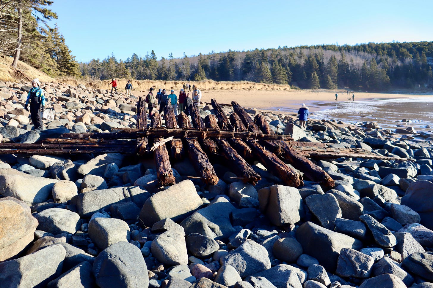
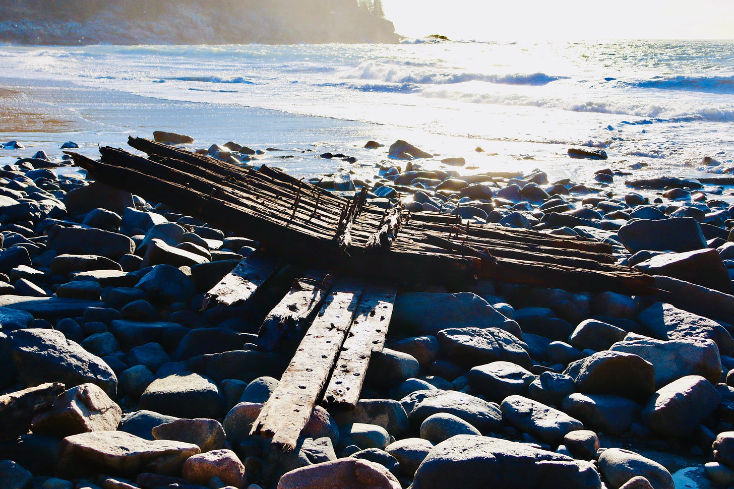
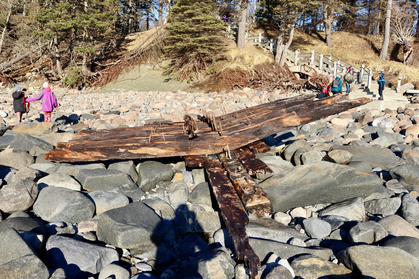
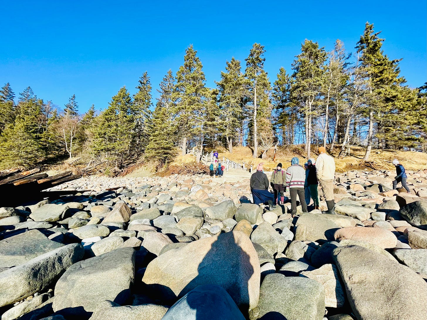
The January 10 storm exposed the wreck of the Tay on Sand Beach in Acadia National Park. The Tay was a total loss after a July 29, 1911 storm pounded the two-masted schooner ashore by Great Head. Saturday afternoon, rangers said that the wreck was approximately 100 feet out from shore. Then she came back again but in a different position. On Sunday morning at mid-tide, some metal pins had dislodged from the remains of the wreck and the Tay had grounded again on rocks to the right of the steps heading to the beach.
The Tay originally wrecked after springing a leak during the storm, losing her boom, and then grounding. She had been covered by dune and sand.
The above photo taken Saturday is courtesy of Tabatha Watson Sullivan.
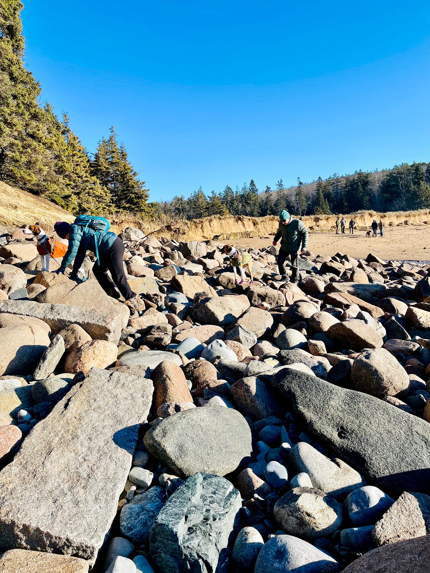
The above video is taken by Steven Boucher.
MANSET AND THE QUIETSIDE
While Bar Harbor has many elevated areas even along the coastline, the western side of the island and its communities had multiple lower spots that took on a great deal of water. Mount Desert Island Historical Society’s Executive Director Raney Bench and the Schoodic Institute have a project about sea level rise and took many photos. If you have water level photos, you can send them to Lisa.murray@mdihistory.org
Dr. Jane Disney of the MDI Biological Laboratory has a community lab which hosts a citizen science data portal called Anecdata.org. Many organizations have launched data collection projects on its site. Gulf of Maine King Tides is one of them. This project was originally launched by the New England Aquarium but recently used almost exclusively in the Acadia Region to document the impact of king tides.
The goal is to make a publicly accessible archive for public access and future generations. The project page is here. If you have storm photos from yesterday, you can help, too, Disney said, by uploading them there.
WHAT TO DO IF YOU HAVE DAMAGE
Above video courtesy of Kevin DesVeaux. It is at Prospect Ave.
From the Maine Coast Fisherman’s Association:
“The Maine Emergency Management Agency has stepped in to help streamline the reporting process by providing an online survey to fill out instead of calling your local town hall.
"‘It is imperative that individuals of private industry and privately owned commercial infrastructure who sustained property damage from the January 10th storm, including wharfs, floats, vessels, etc. document and report that damage,’" said Commissioner Keliher (Department of Marine Resources)
“HOW TO REPORT DAMAGE
“The online Initial Damage Assessment Survey can be found HERE.
“This is not an application for assistance nor a guarantee of financial assistance. Submission of damage information will help the State of Maine understand the extent of damage from the January 10th storm.
”Individuals who sustained damages to their primary residence are encouraged to document and report that damage by filling out the Individuals & Households Initial Damage Assessment Survey (HERE).“MCFA will be updating our website and Facebook with information and links.”
Contact Monique Coombs if you need assistance with the survey. monique@mainecoastfishermen.org
FROM THE MAINE DEPARTMENT OF MARINE RESOURCES
“DMR is working closely with Governor Mills and the Maine Emergency Management Agency as we assess the extent of the damage to Maine's coastline. DMR, with the support of the Maine Forest Service.
“It is imperative that individuals with damaged property from yesterday's storm, including wharfs, floats, vessels, etc. document that damage, share that information with their local municipality, and ask their municipality to report documented damage to the appropriate Maine county emergency management agency.
“Please share this information with anyone on Maine's working waterfront who may have experienced damage from this storm.
“In the meantime, please be aware of areas along the coast, both on land and on the water, where there may be hazards as a result of yesterday's storm and proceed with caution.
“Also, please note that we have a similar storm coming this weekend with an even higher tide, so it’s clear that additional preparations will be needed.
“DMR will continue to evaluate this situation and will communicate updates from the Governor's office and from MEMA as efforts to recover from this storm move forward.”
LINKS FOR MORE INFORMATION
To donate to the Village Improvement Association
To donate to the Oceanarium
To donate to the MDI Historical Society
WANT TO LEARN MORE ABOUT SEVERE WEATHER ON MDI?
Wicked Pissah:
All About Severe Weather with MDI Adult & Community Education
February 7th, 6:00-7:30 p.m., $10
MDI was just hit with the most destructive storm surge in memory, is this what we can expect from a future of rising seas? How have strong storms impacted MDI in the past, and how did people deal with them? From hurricanes to blizzards, sinking ships and stranded lighthouse keepers, Raney Bench, executive director for the MDI Historical Society will share stories and images from storms past, and talk about rising sea levels and what we can learn from our history as we plan for a resilient future. This lecture is open to the public through MDI Adult Education and is available both in person and on-line.
The event’s Facebook page.
REGISTER HERE:


