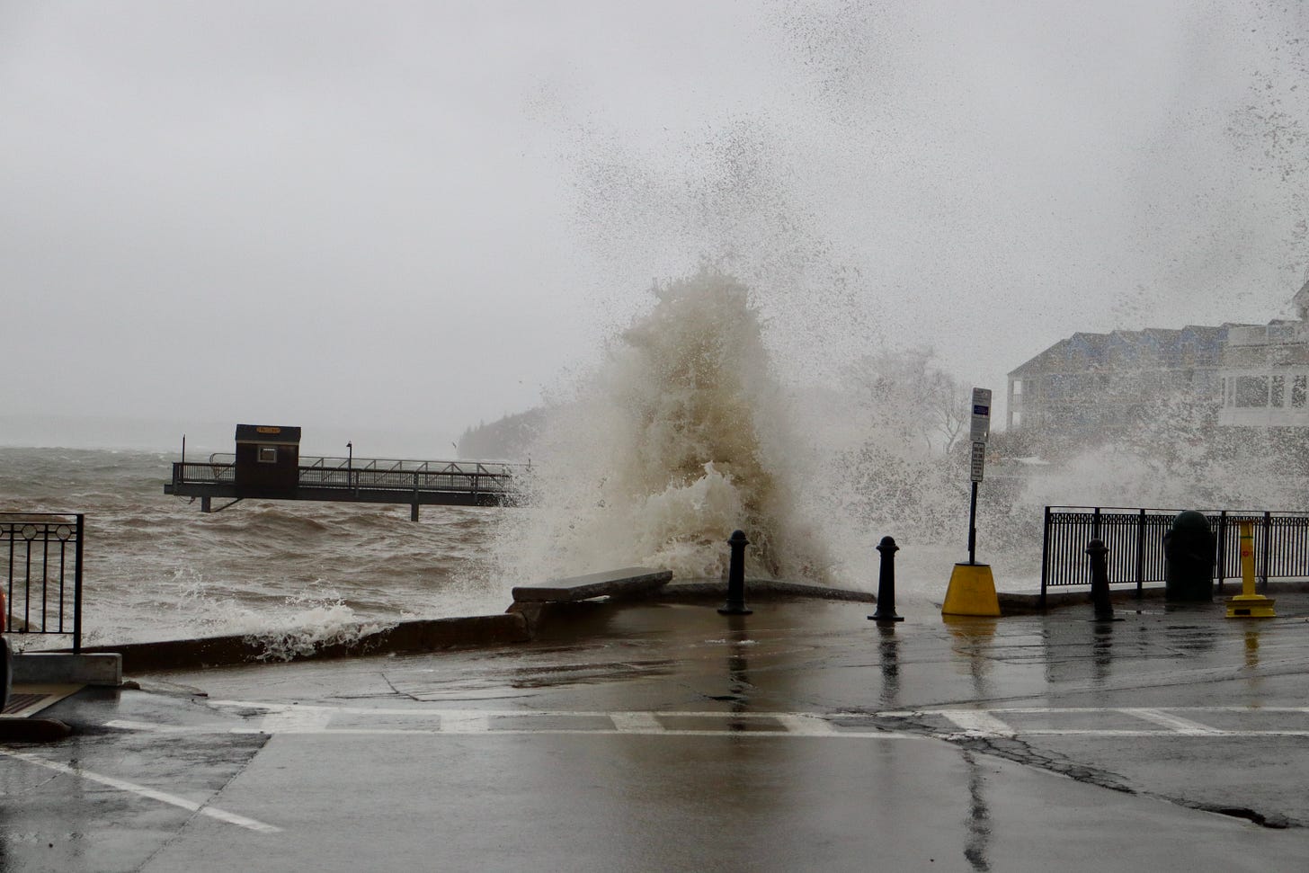
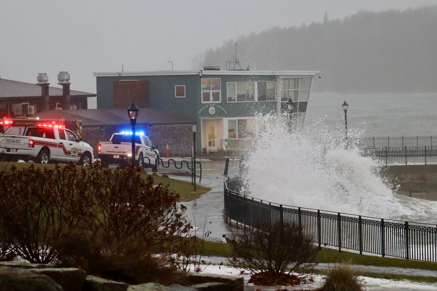
BAR HARBOR—High winds and high tide have combined to cause damage throughout Mount Desert Island today, January 10. High tide was shortly before 9:30 a.m.
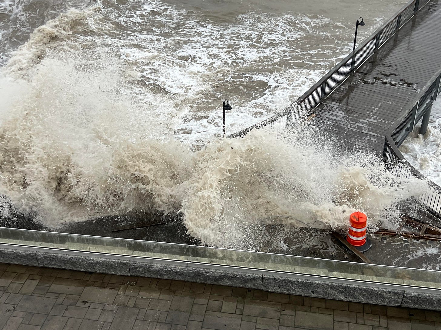
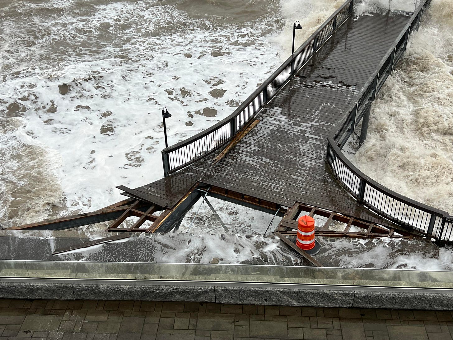
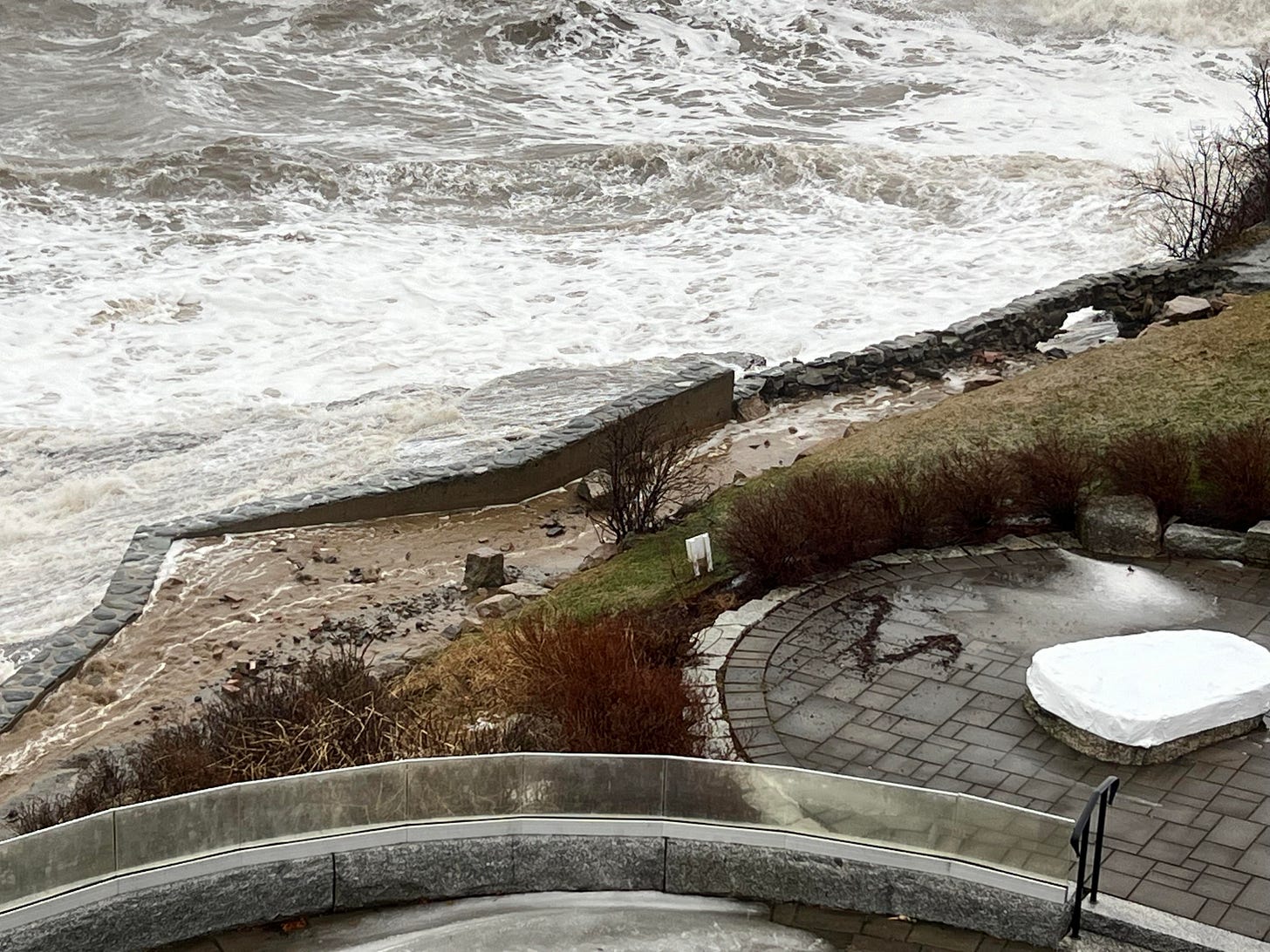
The Bar Harbor Inn’s pier has taken on significant destruction and General Manager Jeremy Dougherty suggests people avoid the Shore Path from Grant Park to the town pier. The below images and video is from Dougherty.
“Our pier just took a major hit and it’s not safe for anyone to be walking on the Shore Path until it’s repaired,” he said. The inn staff has already been working with the Village Improvement Society to fix areas of erosion along the path.
HULLS COVE
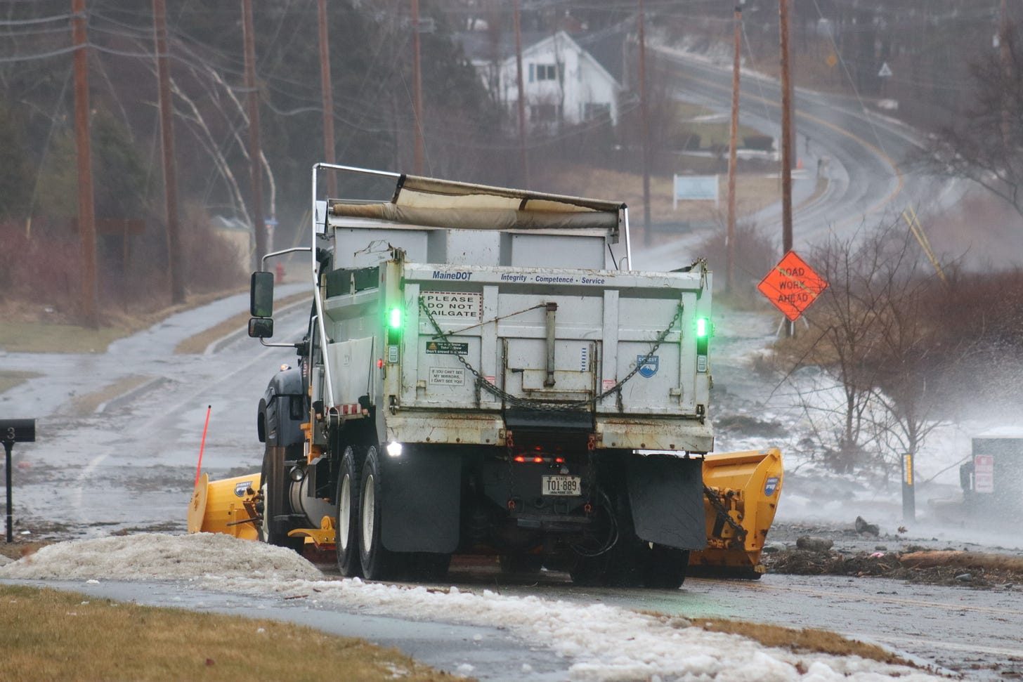
Route 3 at Hulls Cove is reported to be closed at 9:30 a.m. There are hopes that it can reopen an hour or two hours after high tide. A plow truck has moved much of the debris.
SEAL HARBOR
There are reports that the seawall in Seal Harbor at Little Long Pond has been destroyed and the road is not passable.
WEST STREET
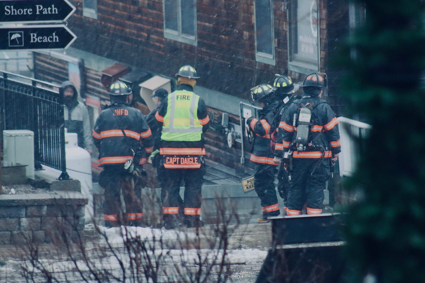
A propane tank reportedly broke away from a business on West Street, lodged under the dock, and then went into the ocean. There were reports of a vapor cloud there as well. Bar Harbor firefighters and Bar Harbor and Mount Desert police officers responded. The video below of the propane tank is courtesy of Phil Kell.
HARBORSIDE
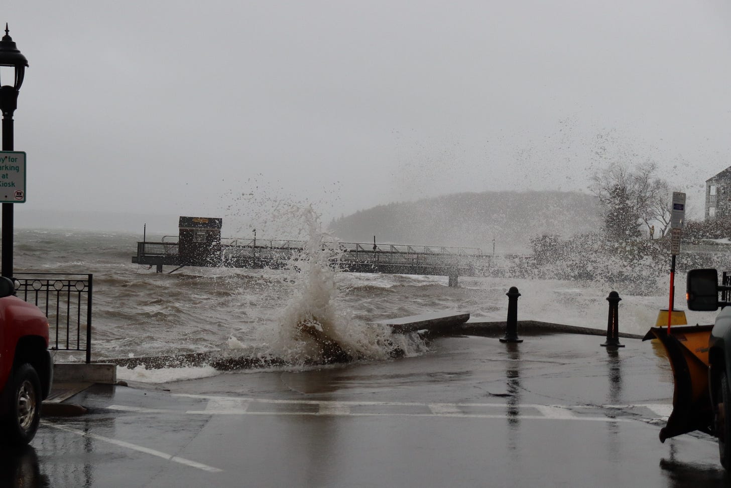
The Harborside area where there are several small businesses was hit hard as well. This is a cruise ship tender disembarkation/embarkation point in Bar Harbor. There is a swear in the video below. If you have tender ears, you may want to listen on mute. Many thanks to Kevin DesVeux of the West Street Cafe for sending us the video.
OTHER STORM NEWS
Around 10 a.m. Versant reported thousands of customers were without power and did not have restoration times available. Schools were cancelled today. The Bar Harbor Municipal Building is scheduled to open at 10 a.m.
NEED YOUR HELP
If you have still images of the storm, please think of sending them to the MDI Historical Society. It needs your help.
The Society is looking for images from the storm for a project they are doing with the Schoodic Institute on sea level change.
They are particularly looking for images from today from the head of the island, Bass Harbor marsh, and Seal Cove/Pretty Marsh areas.
Please send to raney@mdihistory.org with info about when the image was taken/where the image was taken/who took the image.
This story will be (and has been) updated multiple times as new photos and information has come in.


