The Bar Harbor Story is generously sponsored by Paradis Ace Hardware.
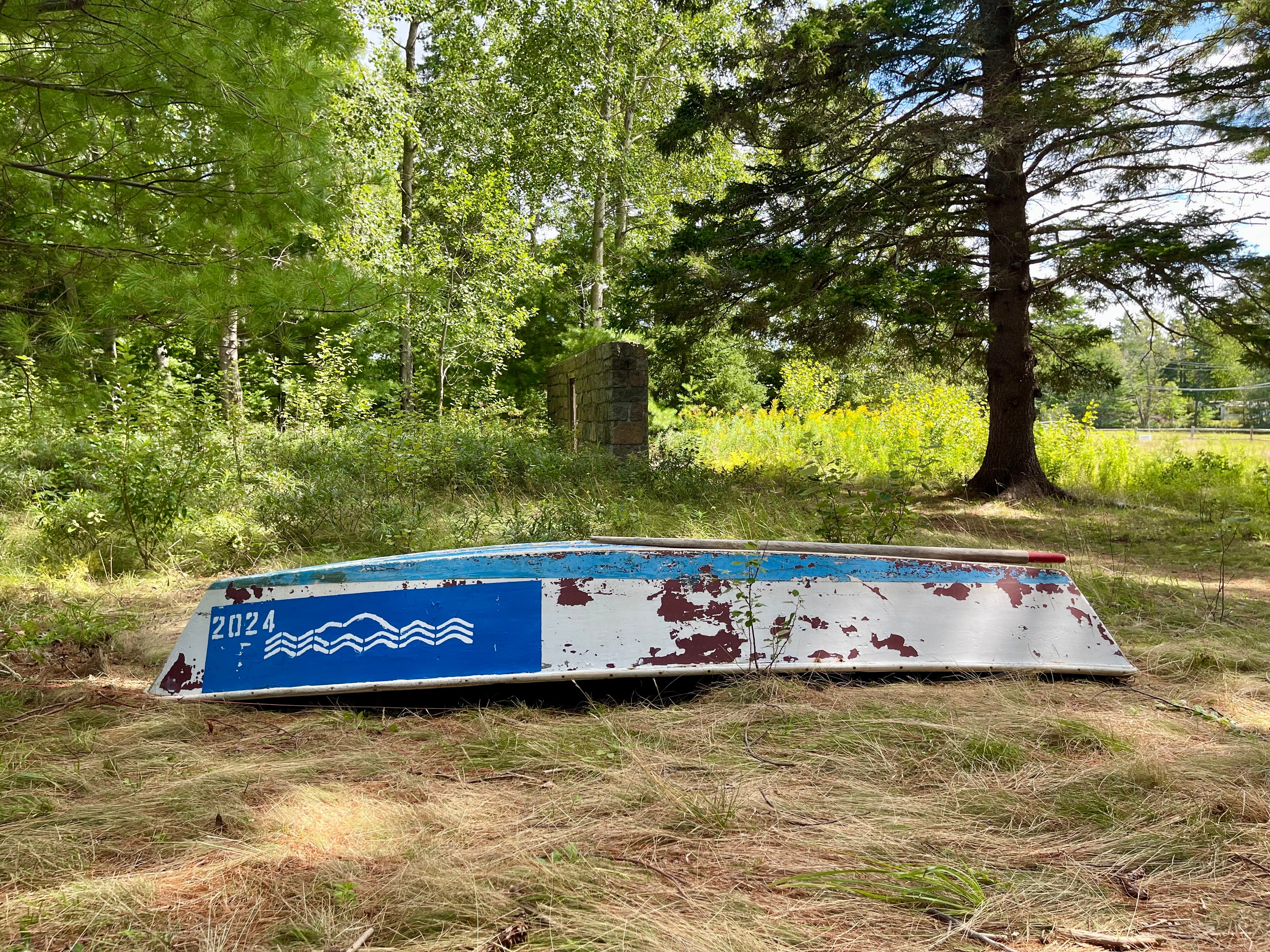
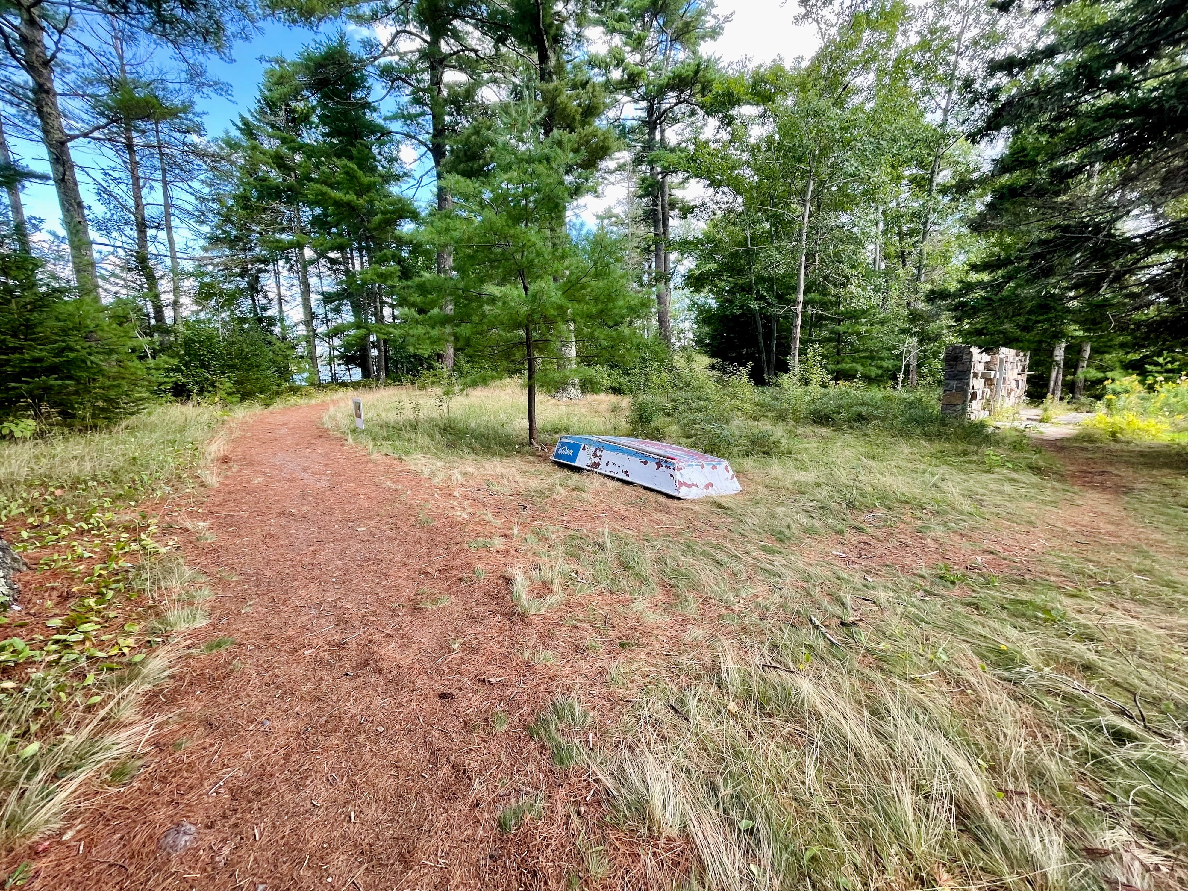
MOUNT DESERT ISLAND—The high water lines stenciled onto the sides of the shingled buildings keep being placed higher and higher, and the boat that used to sit in the Oceanarium and Education Center’s courtyard is now out in the forest, but Jeff Cumming can still see the good that can come from understanding the water’s infiltration. For a couple years now, the Oceanarium’s executive director has hunkered down, researched, repaired buildings, re-lashed docks back into their original places, and thought more and planned more and studied more as the marsh water and ocean converge on the Bar Harbor property.
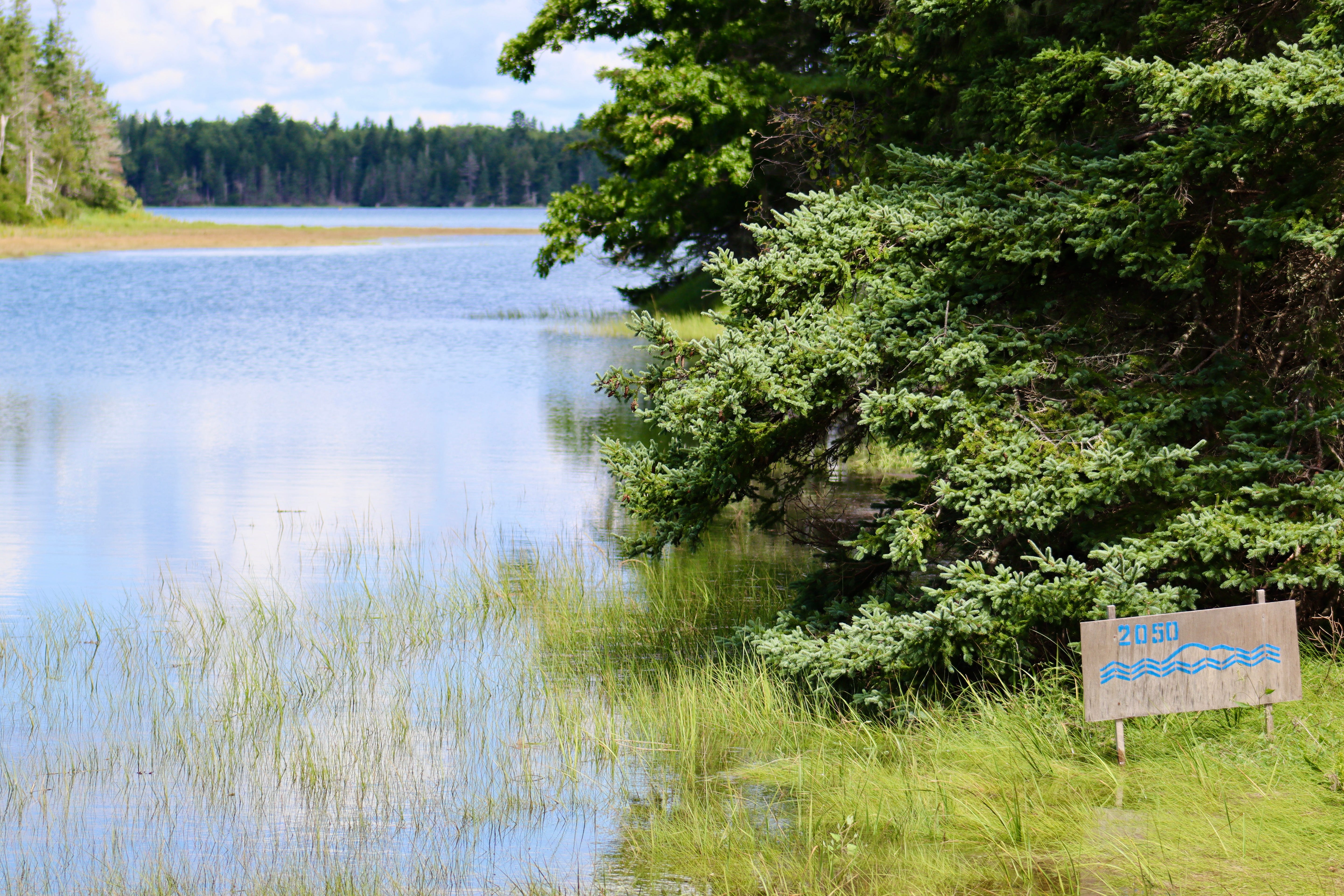
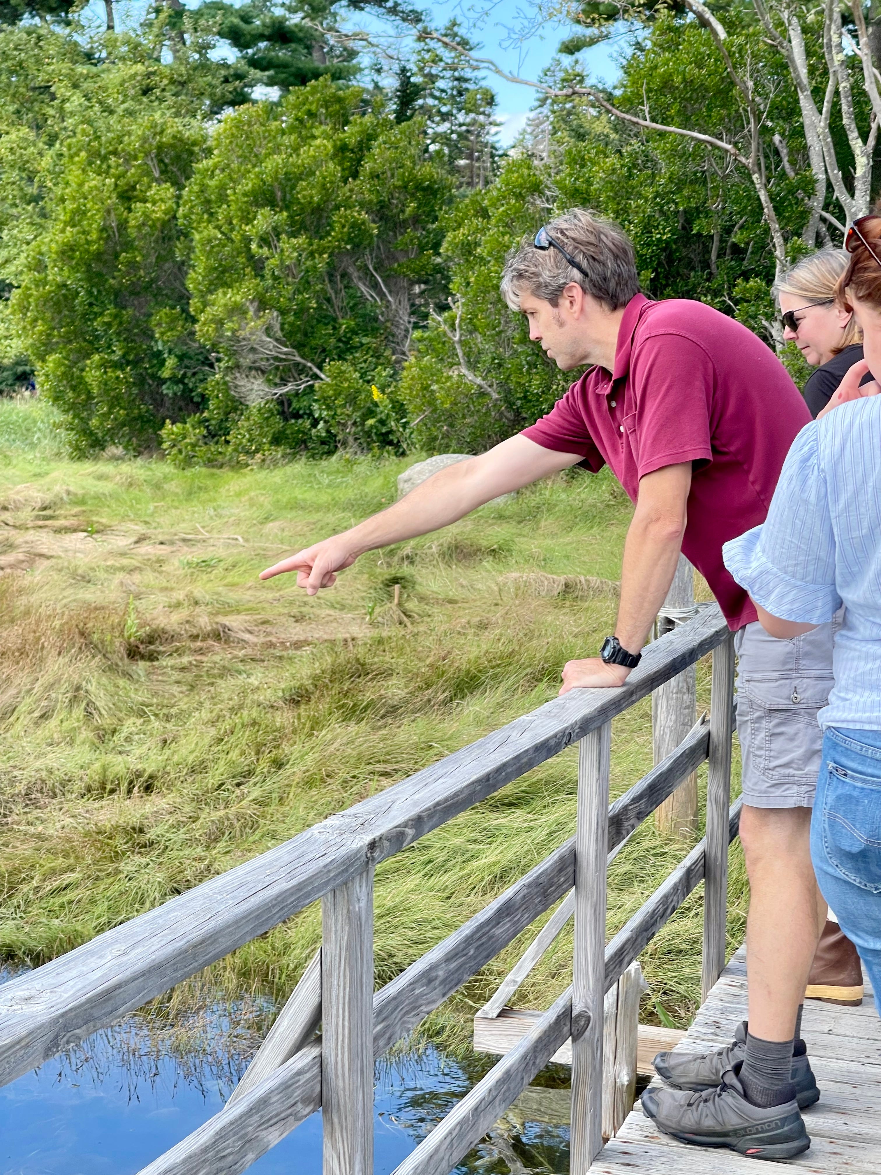
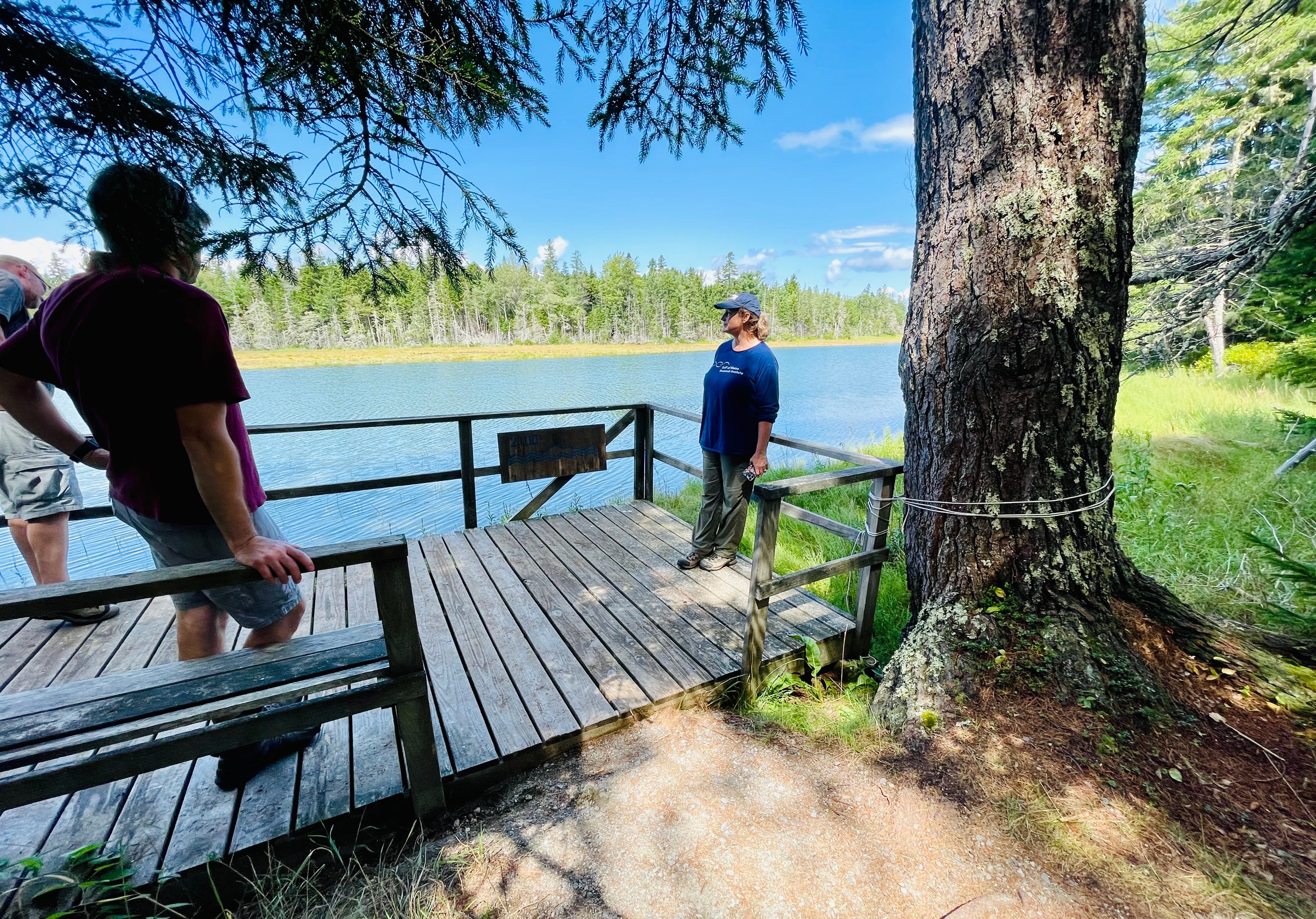
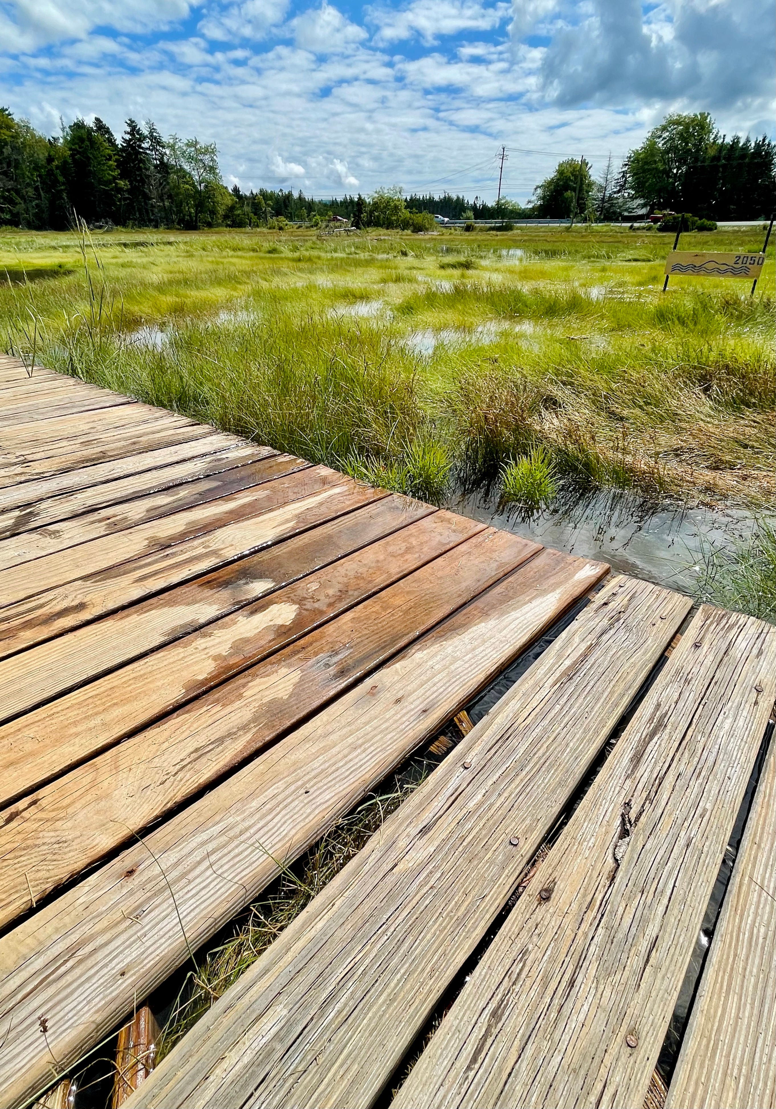
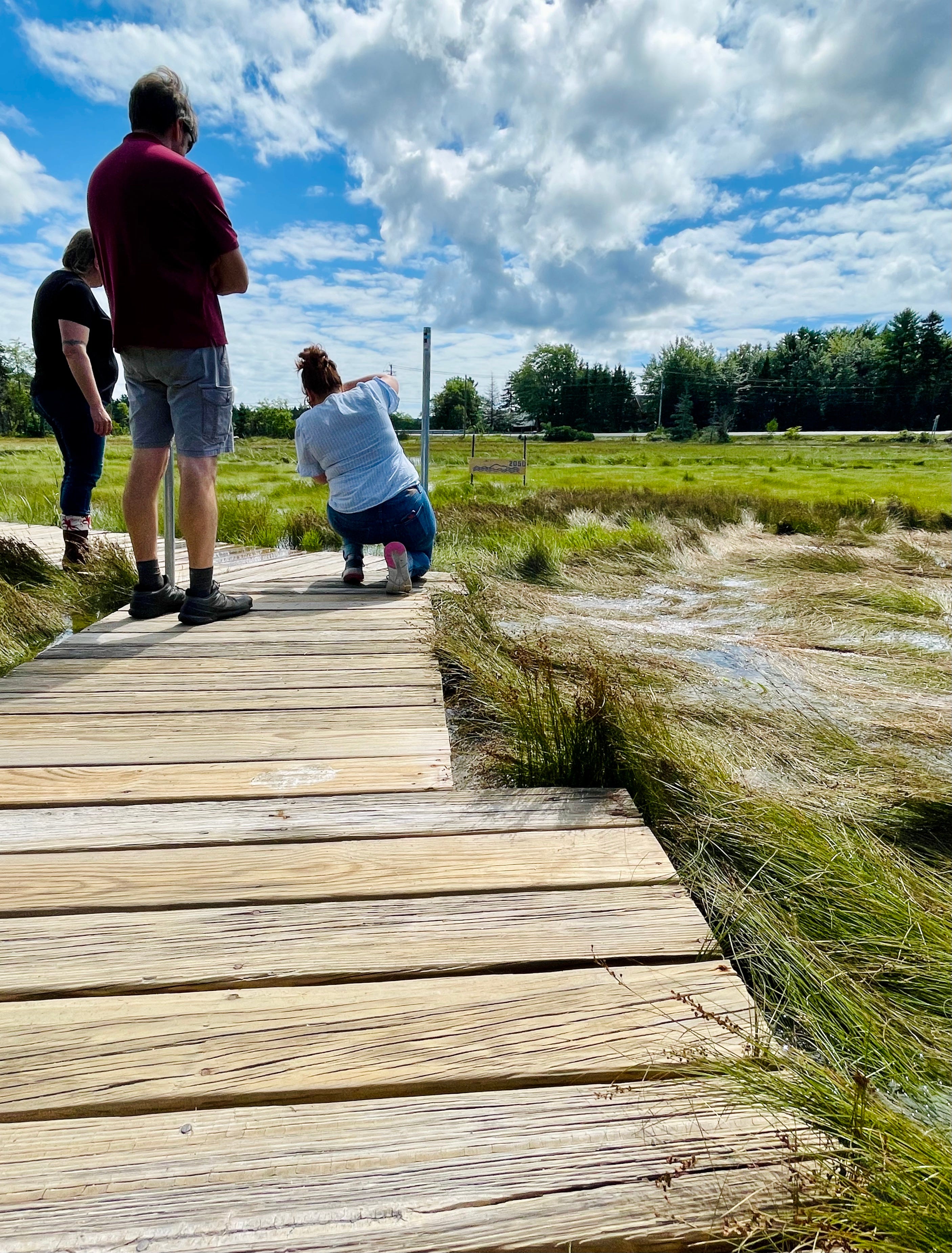
“This whole sign was under the water,” Cumming said as he pointed at a sign expressly created to show a mark of highest tides, one of many that illustrates the potential of king tides, rising tides, or water levels that have already occurred. The sign was under water during the duo of January 2024 storms that pummeled Maine coastal communities.
“I remember being in that tree and pulling seaweed out of branches,” he said. Not the lower branches, either, the higher ones. “They were just so high up, so high above the ground.”
When Cumming initially visited the Oceanarium property located adjacent to Jones Marsh at the head of the island, he knew flooding was a possibility.
“When we first even looked at the property, there was water in the parking lot,” he said. “It was obvious.”
They bought it anyway. His three girls loved the trails, the site. He couldn’t stand driving by, year after year, and seeing the beautiful property vacant.
During the December 2022 storm just before Christmas, two of the buildings flooded. One filled with eight to nine inches of water. About 12 inches of water infiltrated the other.
The questions became, he said, “how do we deal with it and how do we make use of it?”
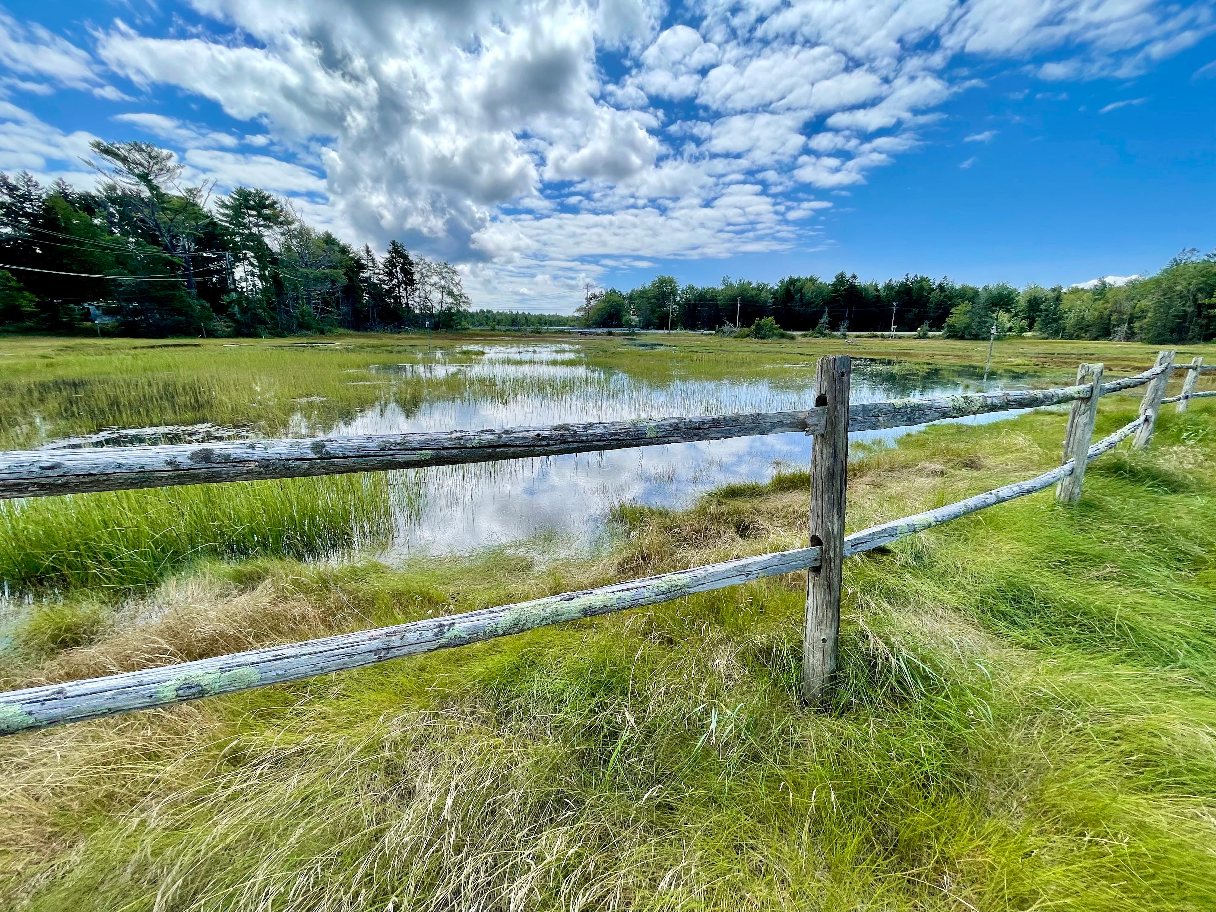
Because of where the Oceanarium is situated in salty tidal marshes, “the entire campus is a sea-level-rise exhibit,” Cumming said.
Catherine Schmitt, science communication specialist for the Schoodic Institute and Acadia National Park, has said that the sea level has risen eight inches in the past 74 years. The rate of that rise is accelerating, doubling at 4.5 millimeters a year in the last 20 years as opposed to the 2.3 millimeter rate between 1950 to 2000.
Now the questions become how to see that, how to illustrate it to people who live here, and also how people like Cumming can adapt to it.
The Landscape of Change, a partnership among the MDI Historical Society, Oceanarium, and Schoodic Institute, is trying to do just that.
It’s mission?
To use “history, science, and imagination to document and communicate the scope, speed, and scale of climate change on MDI.”
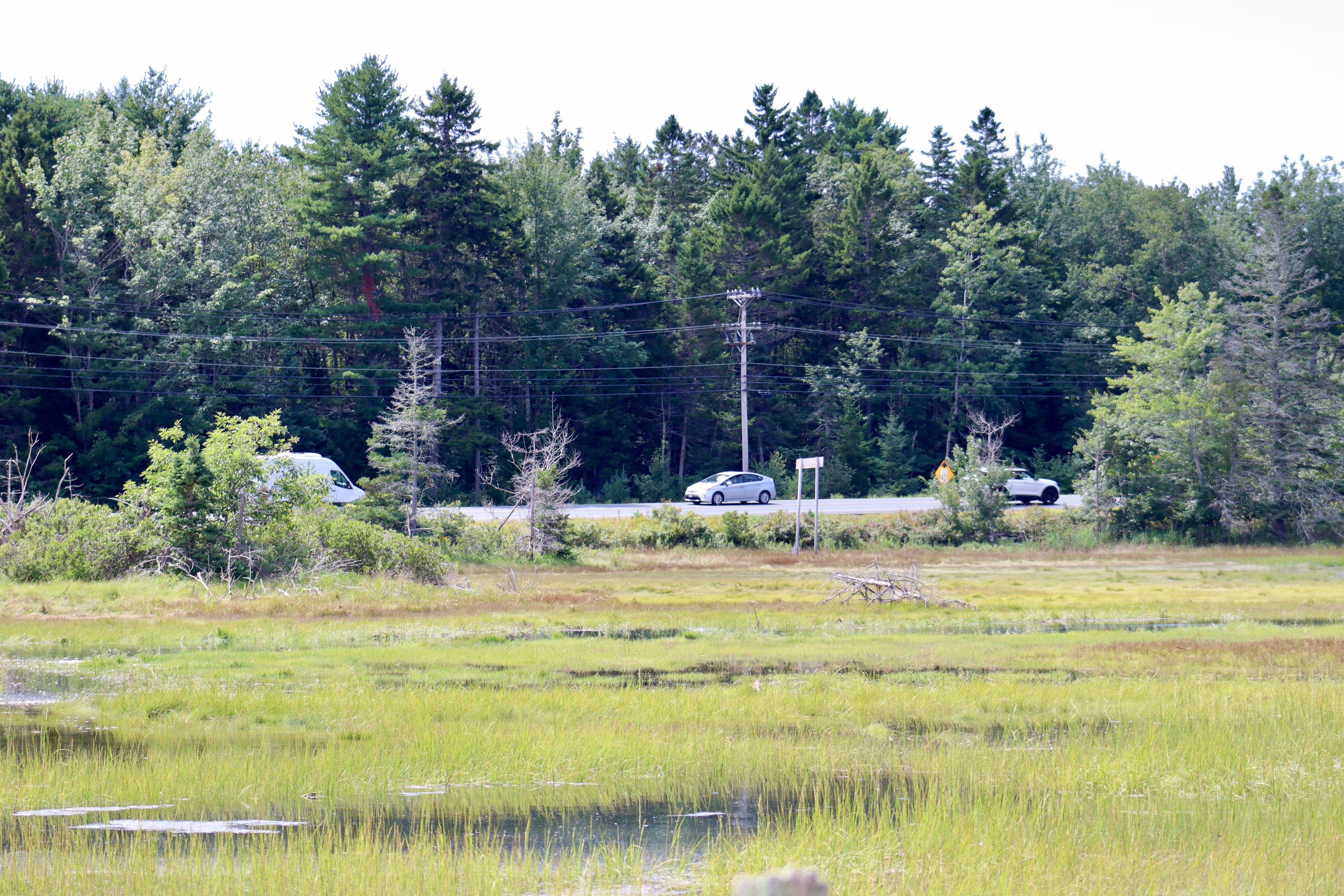
The group wants to communicate climate change’s story on MDI by using scientific data and historical records. That way, it hopes that it can help everyone understand the impact of a changing climate on MDI ecosystems and its infrastructure. Infrastructure like Route 3 by the Oceanarium, infrastructure like the Ocean Path in Acadia National Park, the Seawall Road in Southwest Harbor, the Manset dock, and much more.
The work has been going on since 2020.
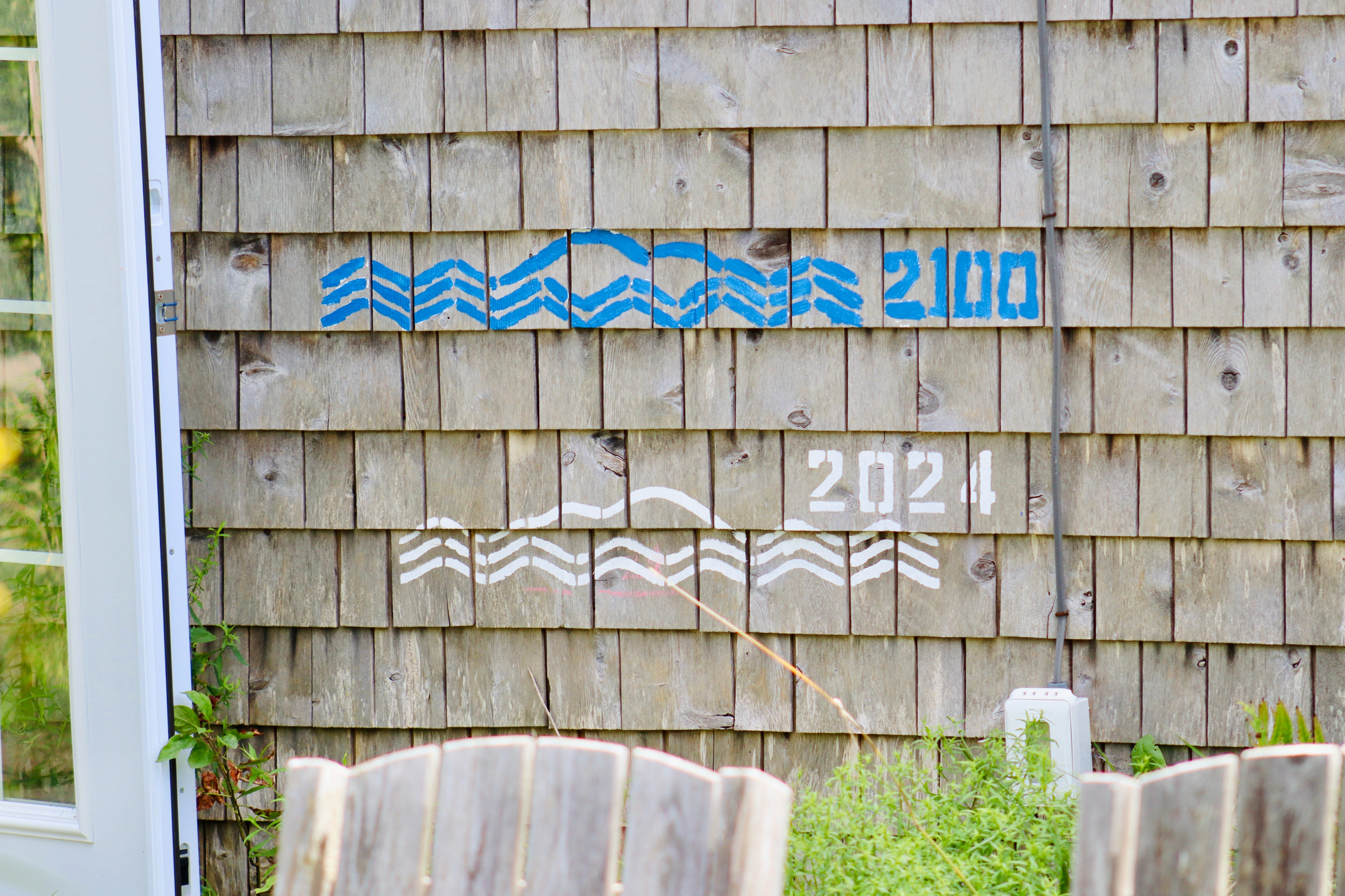
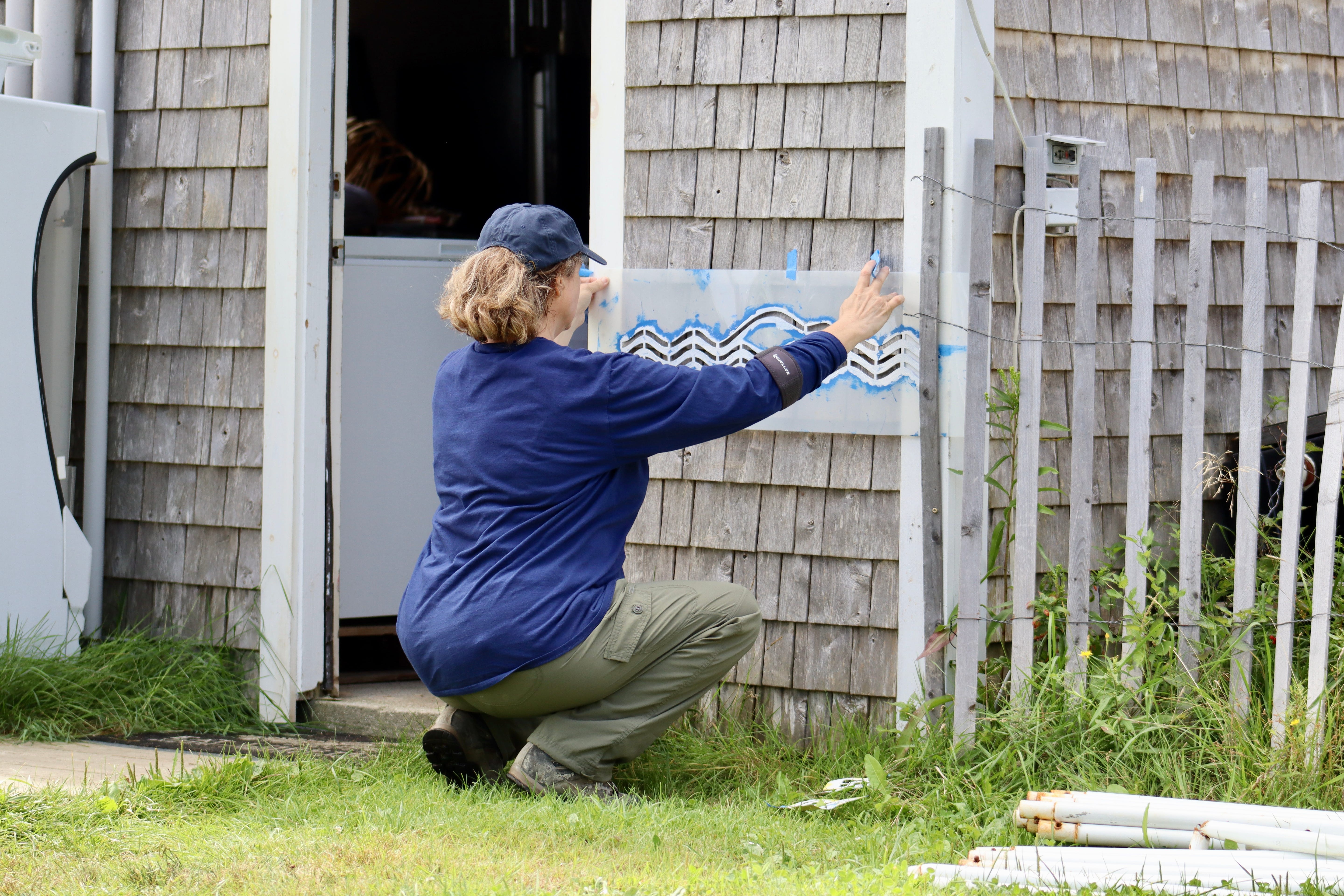
This past fall, the Mount Desert Island Historical Society joined MDI High School’s Ruth Poland’s environmental science students to focus on how climate change has effected Mount Desert Island. They went into the archives, gathering baseline data. Artist and researcher Jennifer Booher created stencils to help people understand the rising sea levels.
A September 20 event is a call for the community to learn more and work together.
“We're hosting a free brown bag lunch conversation at the Oceanarium on Sept. 20 at noon where people can learn more about king tides, coastal flooding and resilience, see a king tide on site, and make their own poster. We want to encourage people to document the upcoming king tides this fall and share their images with us and they can learn how to measure future tide levels,” Mount Desert Island Historical Society Executive Director Raney Bench said.
THE STORMS, THE TIDES, THE FUTURE
In January 2024, a duo of storms smashed into Maine, damaging its coast, causing severe flooding and as Jacqueline Weaver wrote for the Maine Monitor, “The Maine Coast Fishermen’s Association estimated at least 60 percent of Maine’s working waterfronts were heavily damaged or destroyed in the January storms.”
Thousands lost power. People lost businesses and wharfs. Communities lost roads. Acadia National Park sustained massive damage. Bar Harbor’s Shore Path was damaged. Southwest Harbor’s Seawall Road was broken into pieces.
To build or not build, how to prepare for more, have been big questions.
And for some Mount Desert islanders and their organizations, it’s also about collecting the data, creating visual representation to show what’s happening in different parts of Mount Desert Island.
One purpose of the brown bag lunch that Bench is holding in September is so that people can look at their own spaces and create their own chalk stencils to see where the water is rising and how much.
Booher said, “You can’t solve a problem that you can’t see.”
It’s not all pessimistic, she said. “Humans adapt.” They may not be able to fix the problem but they can mark the space they inhabit. They can become aware.
“Since then, many coastal businesses have had to decide whether to abandon their enterprises or rebuild, hoping to fortify their properties against future major storms — in some cases with a cash infusion from the state,” Weaver wrote. “Earlier this summer, Gov. Janet Mills announced the state would provide $21.2 million in grants to help working waterfronts rebuild.”
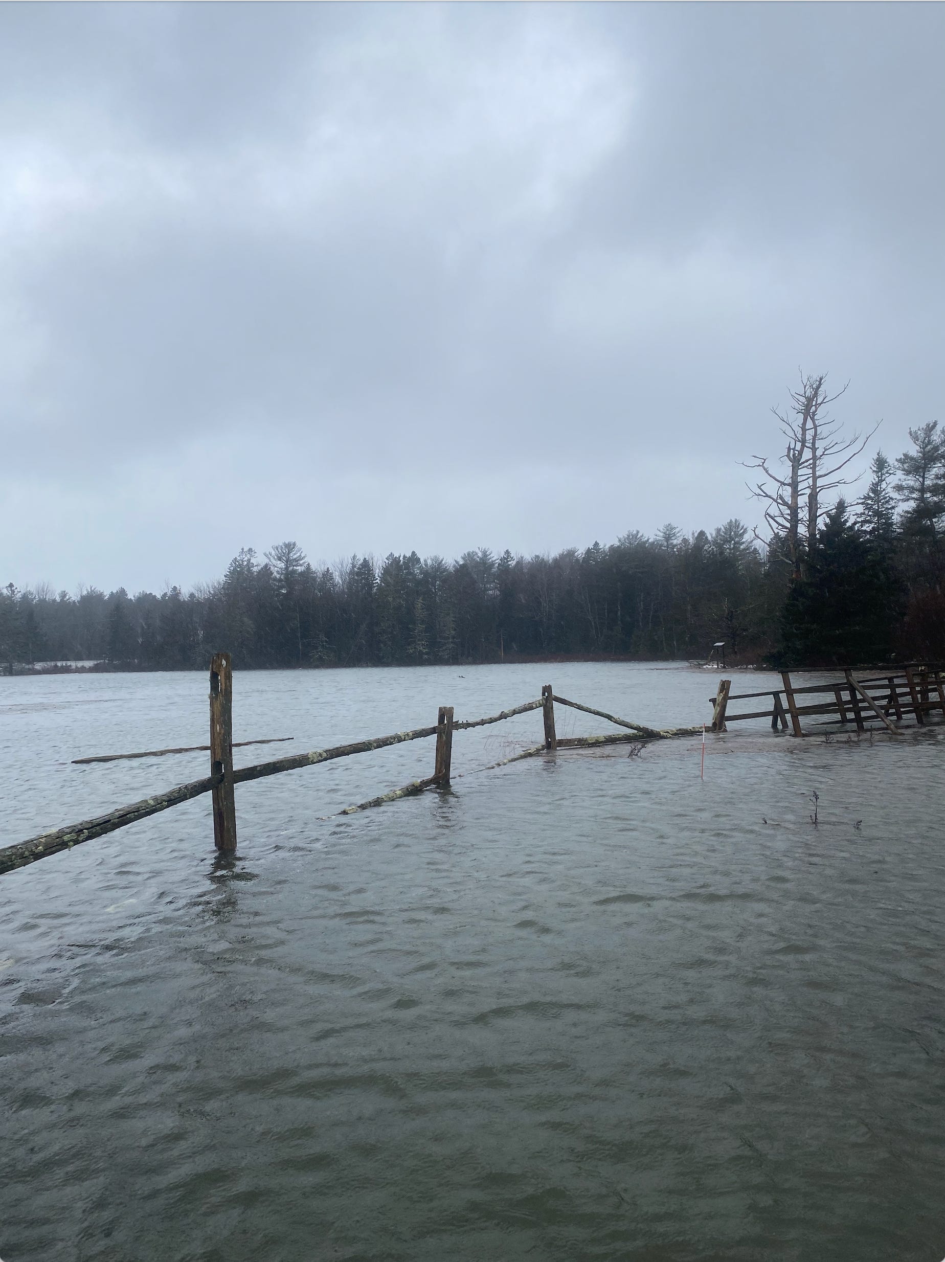
In the January storms at the Oceanarium, water flowed over a concrete wall, infiltrated buildings, created its own path through the land, turned a small boat right-side up in the courtyard and pushed it well into the woods, basically halfway out to sea.
“The whole area was water,” Cumming said. “There was no grass visible.”
WHAT EXACTLY IS A KING TIDE?
According to the National Ocean Service, National Oceanic and Atmospheric Administration (NOAA), “a king tide is a non-scientific term people often use to describe exceptionally high tides. Tides are long-period waves that roll around the planet as the ocean is "pulled" back and forth by the gravitational pull of the moon and the sun as these bodies interact with the Earth in their monthly and yearly orbits. Higher than normal tides typically occur during a new or full moon and when the Moon is at its perigee, or during specific seasons around the country.”
It is basically, the highest tide or tides of the year. The king tides also give people a preview of where the future regular average day’s high tide will be. They show a community where sea level rise is going to make an impact. They show a community where it is going to have to try to tweak or change infrastructure to deal with that impact. They show a community what its future might look like.
“You can see how the buildings fared,” Cumming said of the oceanarium. His voice was calm, but slightly worried as he explained the impact in January. How the electrical panel was infiltrated, his worries for the animal and the men who were there, how that water kept rising and rising.
As the EPA says, “Sea level rise will make today’s king tides become the future’s everyday tides.”
When people witnessed what happened in those January storms, they were likely witnessing MDI’s future normal, according to the EPA.
“Higher sea levels mean that storm waves and flooding are also higher,” the Schoodic Institute stated last year. “The worst case scenario of a storm arriving at the same time as a king tide occurred December 2022. A three-foot surge in water levels provided a glimpse of average sea level rises in the future.”
That isn’t the worst case scenario any longer.
THE STENCILS
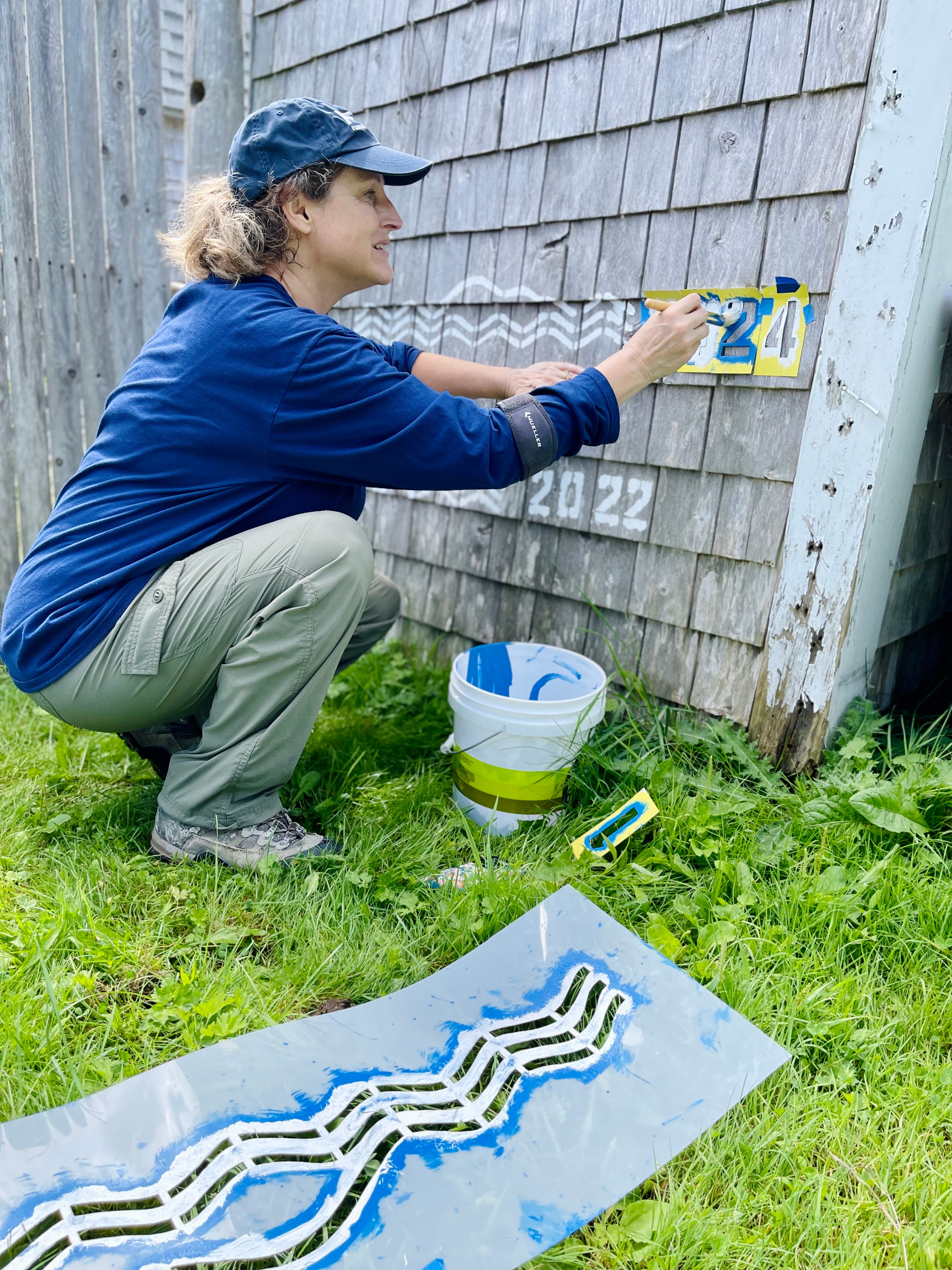
A big part of the mission of the Landscape of Change project, which is, according to the Mount Desert Island Historical Society a “collaborative project using history, science, and imagination to document and communicate the scope, speed, and scale of climate change on MDI,” is to get people thinking and talking about the sea levels and changes.
It’s the historical society’s initiative with Acadia National Park, Schoodic Institute, the Mount Desert Island Biological Laboratory, College of the Atlantic, and A Climate to Thrive.
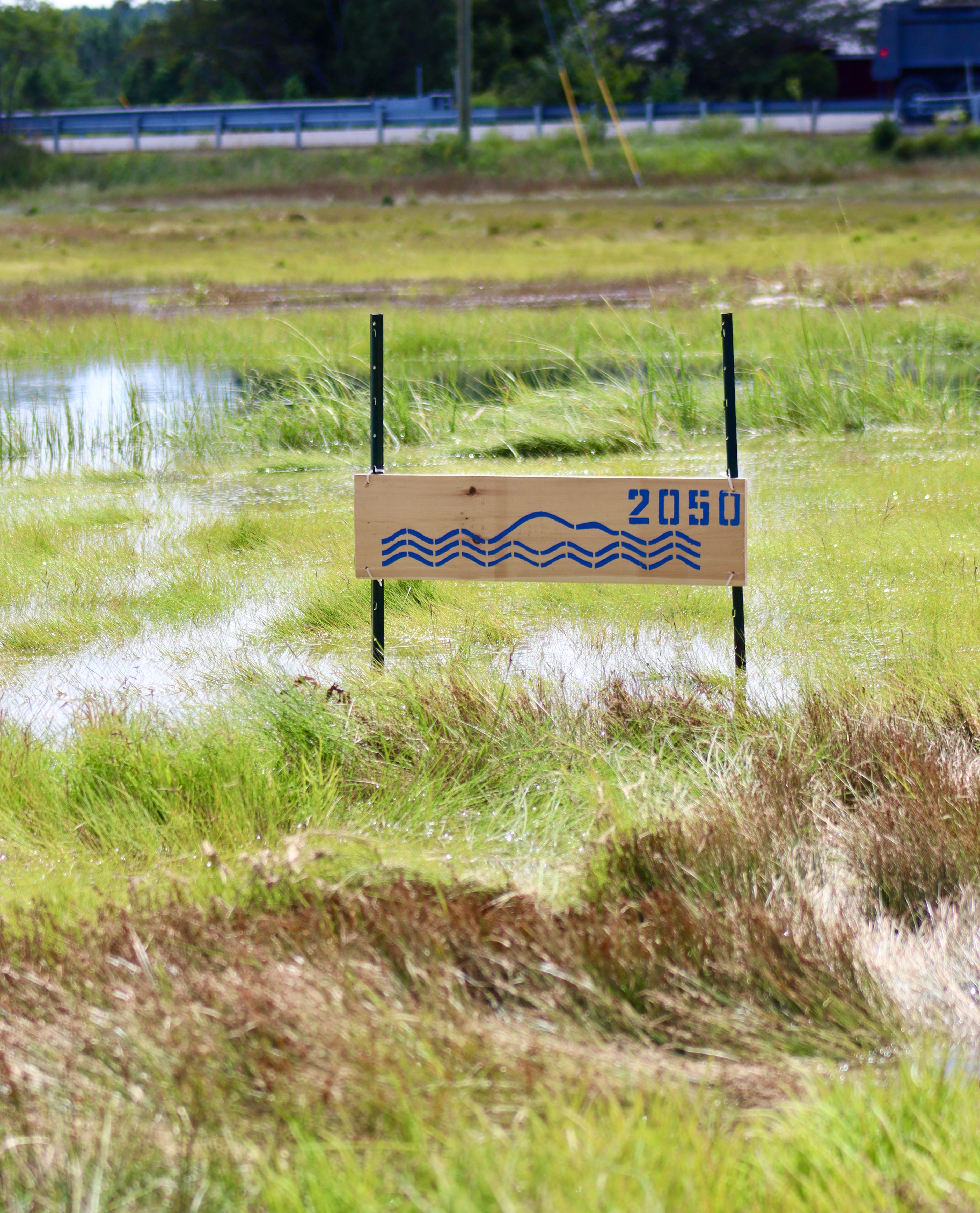
Since 1950, the sea level in Bar Harbor has increased (or risen) 8 inches. It’s expected to rise an addition foot by 2050; it’s predicted to rise three feet by 2100. The impact is obvious when you start to look.
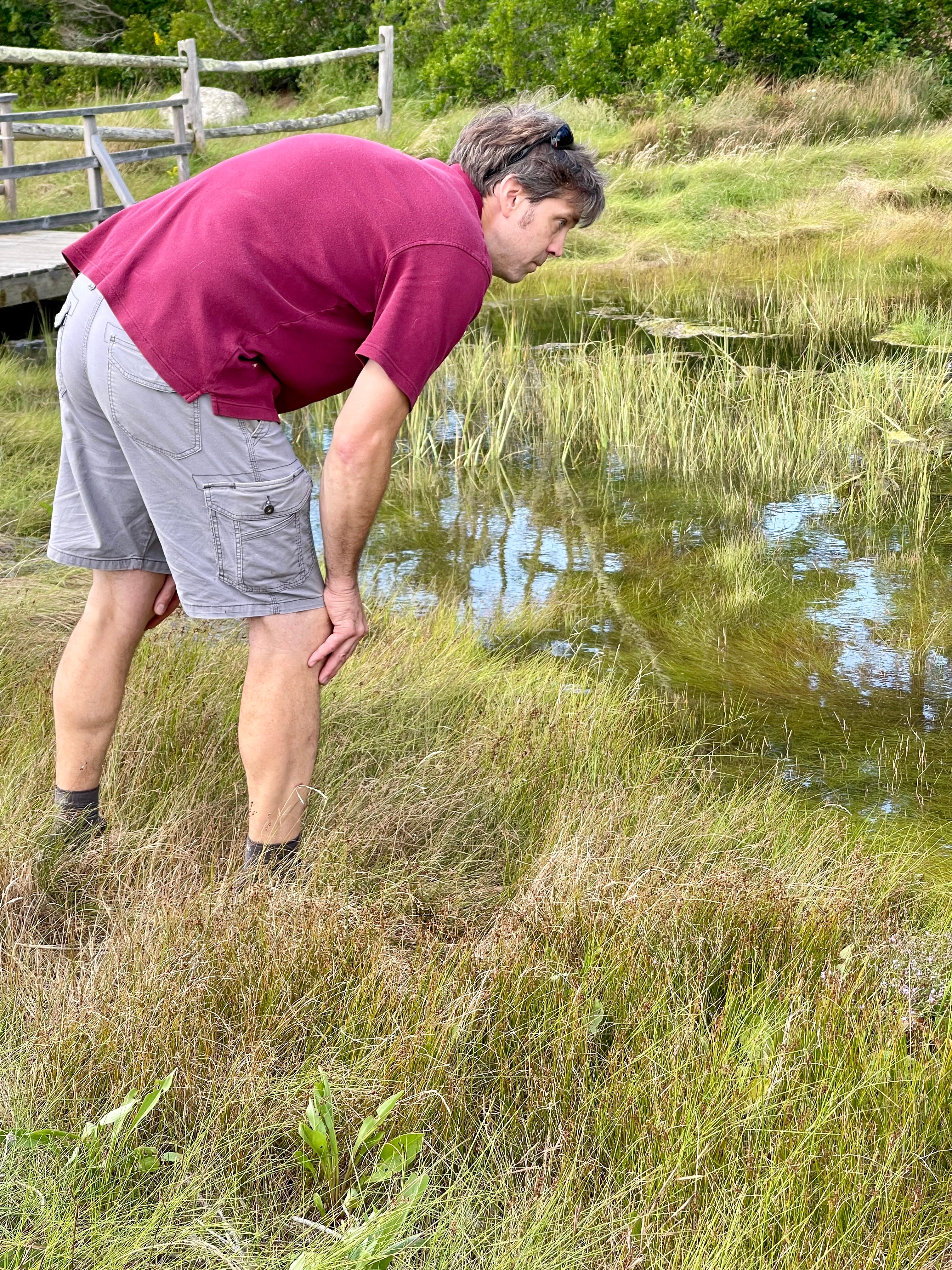
Out in Somesville, local fisherman Rusty Taylor marked the Somesville Dam and Fishway with the height those December floodwaters reached. Those haven’t been updated yet with marks from the January 2024 storms, but Bench thinks they will be soon.
Those stencils are available for people to use. Bench has kits (including stencils) and information so that people can visualize for themselves where that sea level will be and future storm levels and king tides.
“But use chalk, not paint!” she cautioned.
Bench hopes that people will document and send images to the society so that it can share that information now and for the future.
The stencils are also part of the Landscape of Change project. The Landscape of Change project won the American Association for State and Local History’s Award of Excellence in 2022. Booher’s work is supported by the Gulf of Maine Research Institute.
Photos: Carrie Jones/Shaun Farrar/Bar Harbor Story
LINKS TO LEARN MORE
For more information on this and many more of these projects, or to borrow some stencils, visit www.mdihistory.org/wechangewiththem, email info@mdihistory.org or call (207) 276-9323.
https://tidesandcurrents.noaa.gov/sltrends/sltrends_station.shtml?id=8413320
Schoodic Institute's Imaging the Future Shore with MDI High School
Cool story maps about the area
NYT article about rising sea levels
The NOAA map to visualize sea level rise.
Gulf of Maine Research Institute
Here's a link to the Coast Lines project and our overall sea level rise work.
https://www.pbs.org/newshour/science/king-tides-documented-globally-show-risks-of-climate-change
THREE QUICK POLLS (IF YOU HAVE TIME)
POLL#1
People have suggested that we go full width with our photos. We aren’t sure how we feel. We tried it for this post. Can you let us know what you think if you have time?
POLL #2
POLL #3
We’re thinking about changing our name. When we started the Bar Harbor Story, we thought it would be a super-local news site where we occasionally wrote some news and features each week. It quickly grew and expanded and now the name doesn’t feel quite so inclusive? But rebranding and renaming ourselves seems a little . . . marketing heavy when we really just care about MDI (all of it) and people feeling included and not marketing (no offense to marketers) . What do you think? Ideas?
If you’d like to donate to help support us, you can, but no pressure! Just click here.
If you’d like to sponsor the Bar Harbor Story, you can! Learn more here.




Change your name if you like. However I would caution writing about subjects too off topic or far afield from Bar Harbor in particular and MDI in general.
Locally the MDIslander, now owned and operated as a mid-coast tabloid has for this reader sadly lost its luster as a source of current news, relevant editorials and information to here. Unfortunately it is no longer appreciated, now glumly given a cursory look and in short order, not likely subscribed to in the not to distant future.
In today’s multimedia environment interesting, current and relevant topics are almost overwhelming in supply, simply a few taps on the keyboard accessible and increasingly highly specific in content.
Bar Harbor Story is a breath of fresh air, reasonably well sourced, salient, balanced and most importantly grounded locally. The most eroded of main stream media.
Well done!